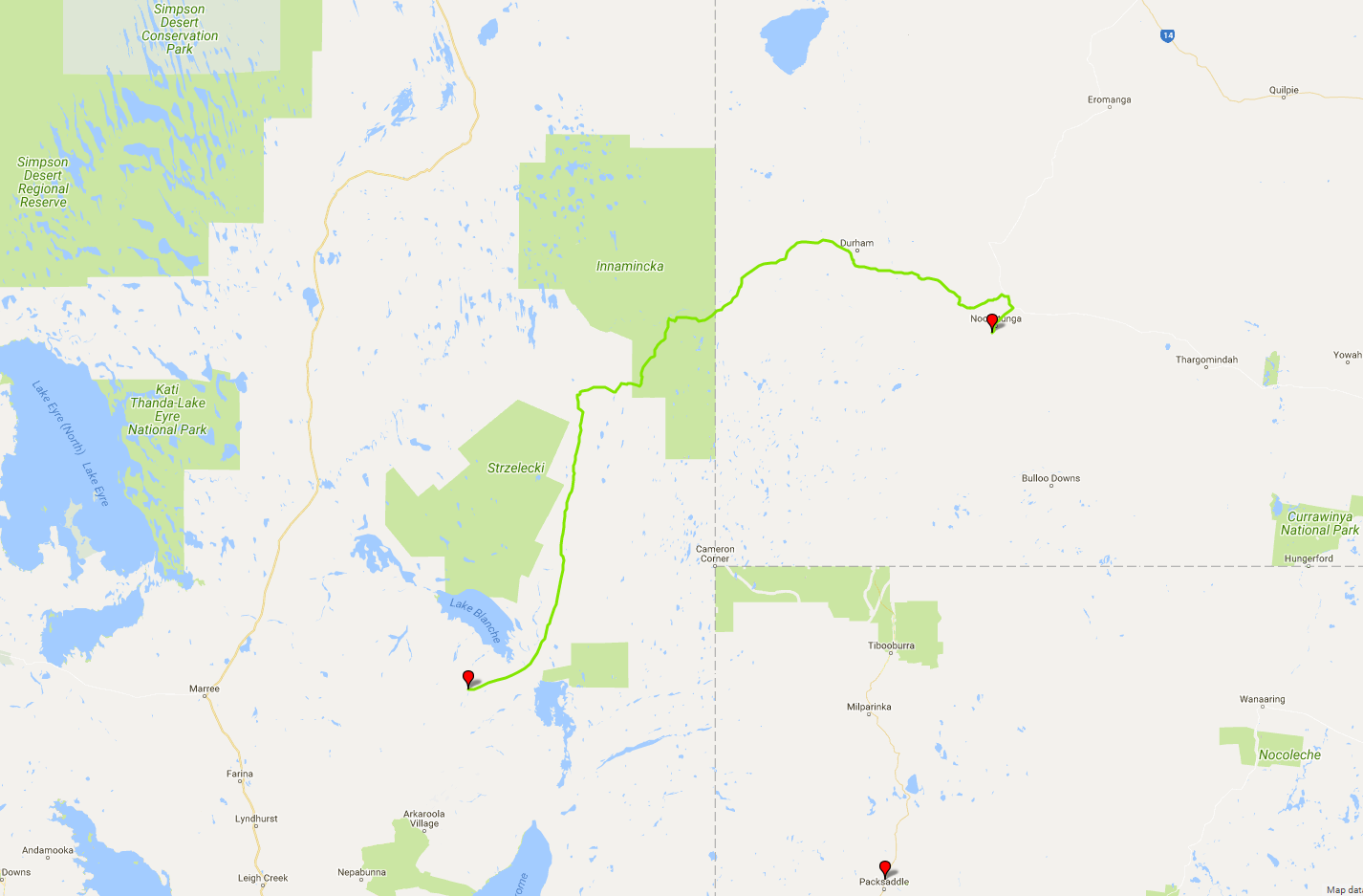
 Today's itinerary.
Windy night did not make for a good night's sleep indeed, but it's not like I came here for comfort, is it? It's still windy and chilly when I pack up my camp and head out at 7 a.m., but the sun is out and the skies are clear: going to be a hot one today. The landscape becomes more and more flat and featureless as I drive on amidst the quickly shortening shadows.
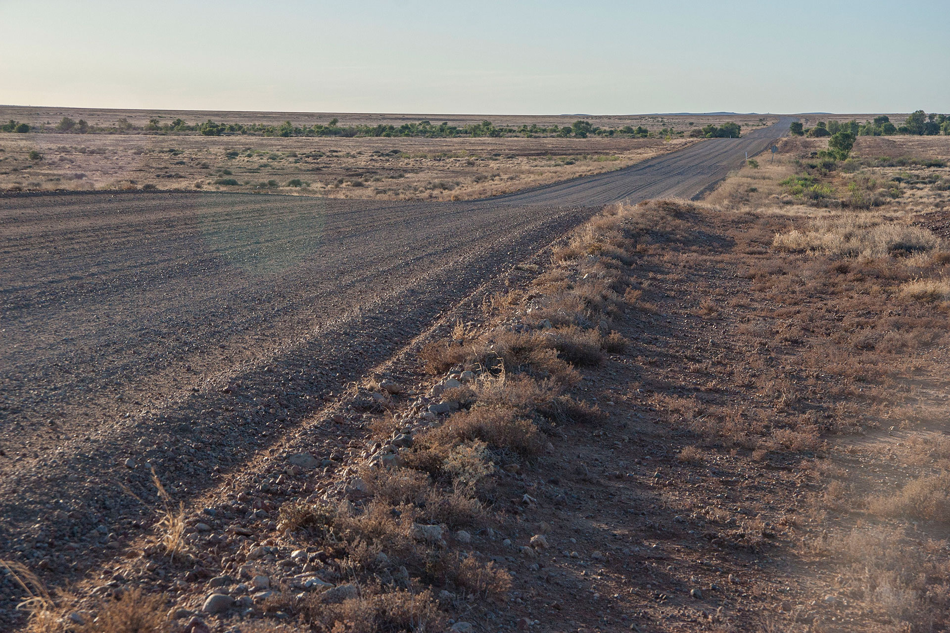 Strzelecki Track.
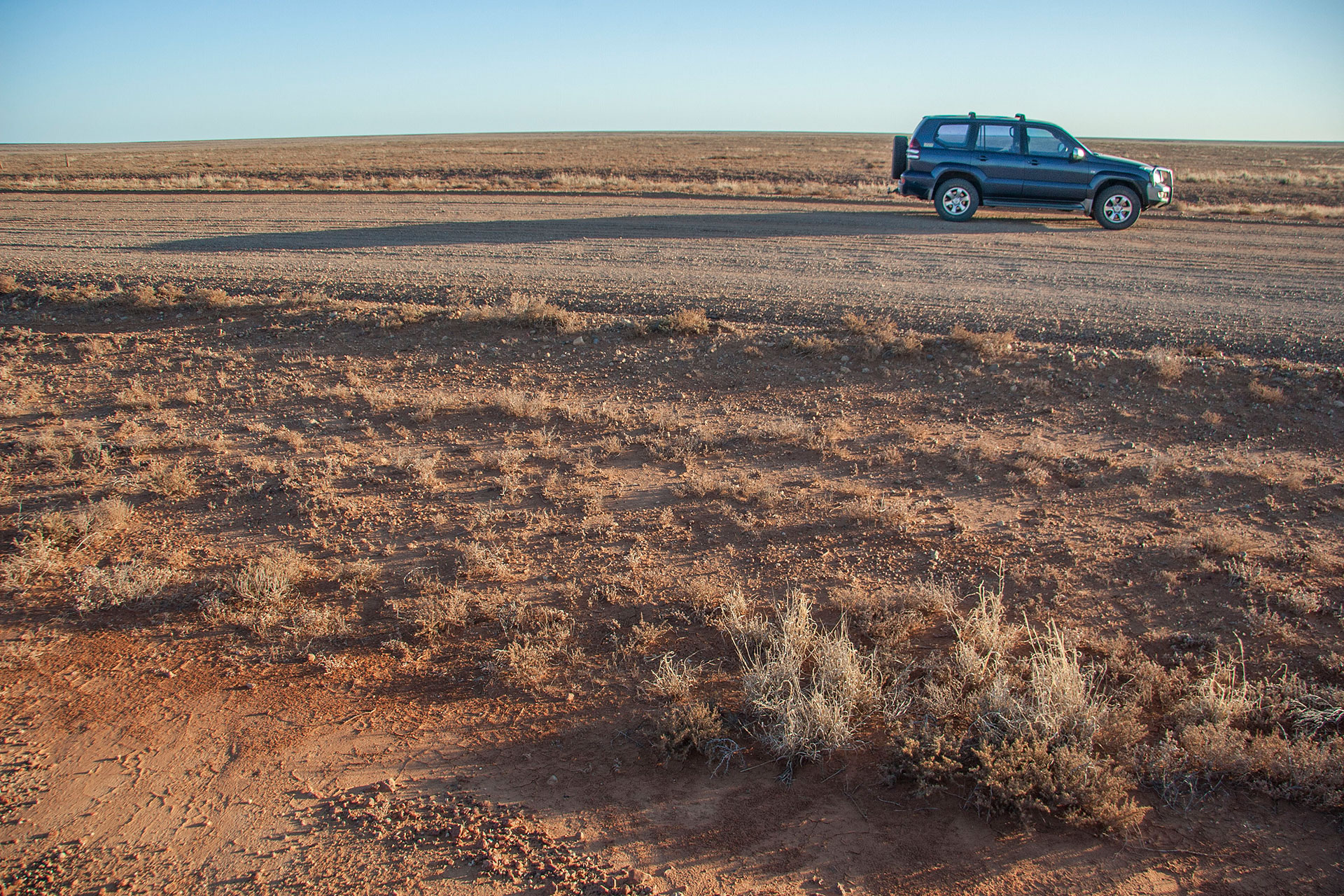 A new morning on the road.
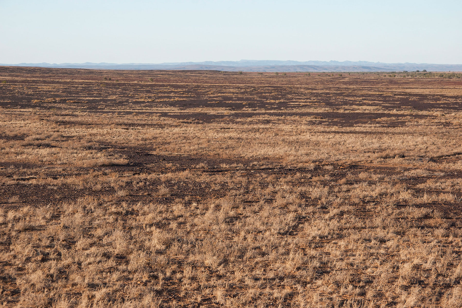 So flat out here.
Soon, however, the monotony breaks. All of a sudden, gibber plains turn into yellow sandy desert. Indeed, this is the one and only Strzelecki Desert that starts right here. To my surprise, I see a few bunnies hopping around amidst the yellow dunes. Of course, they're way too camera-shy, but the dunes themselves are quite picturesque on their own.
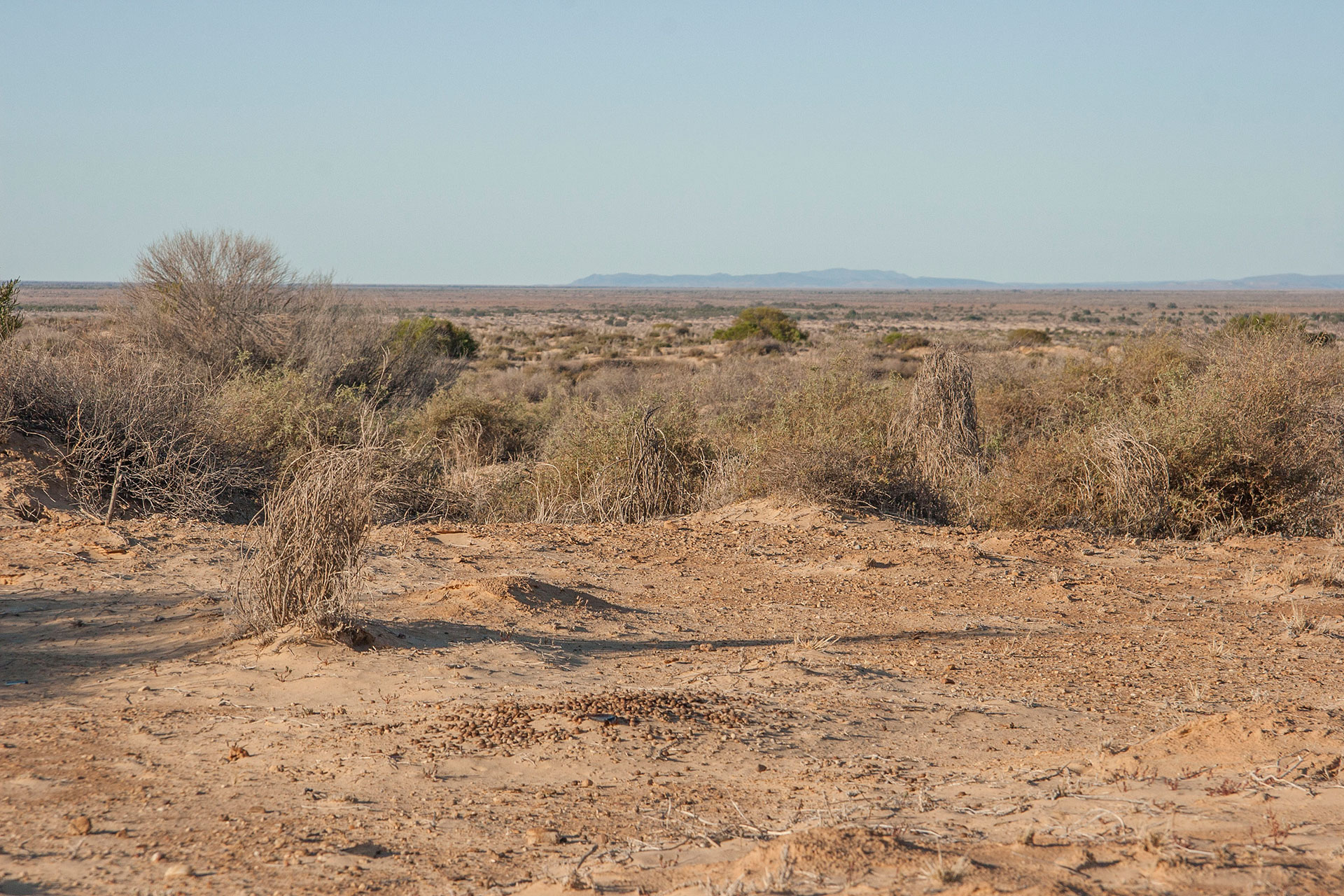 The last glimpse of Gammon Ranges.
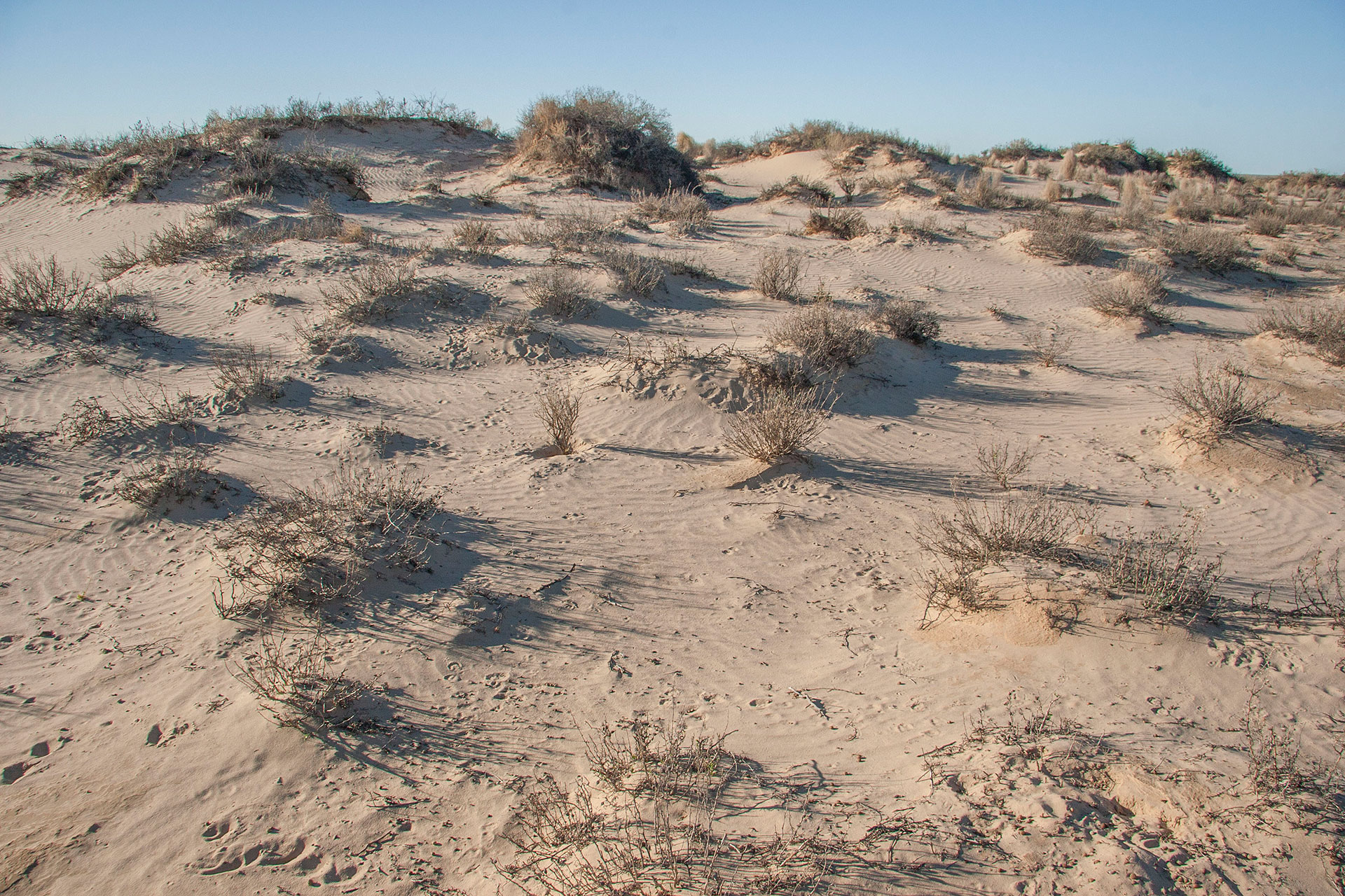 A yellow dune with bunny tracks.
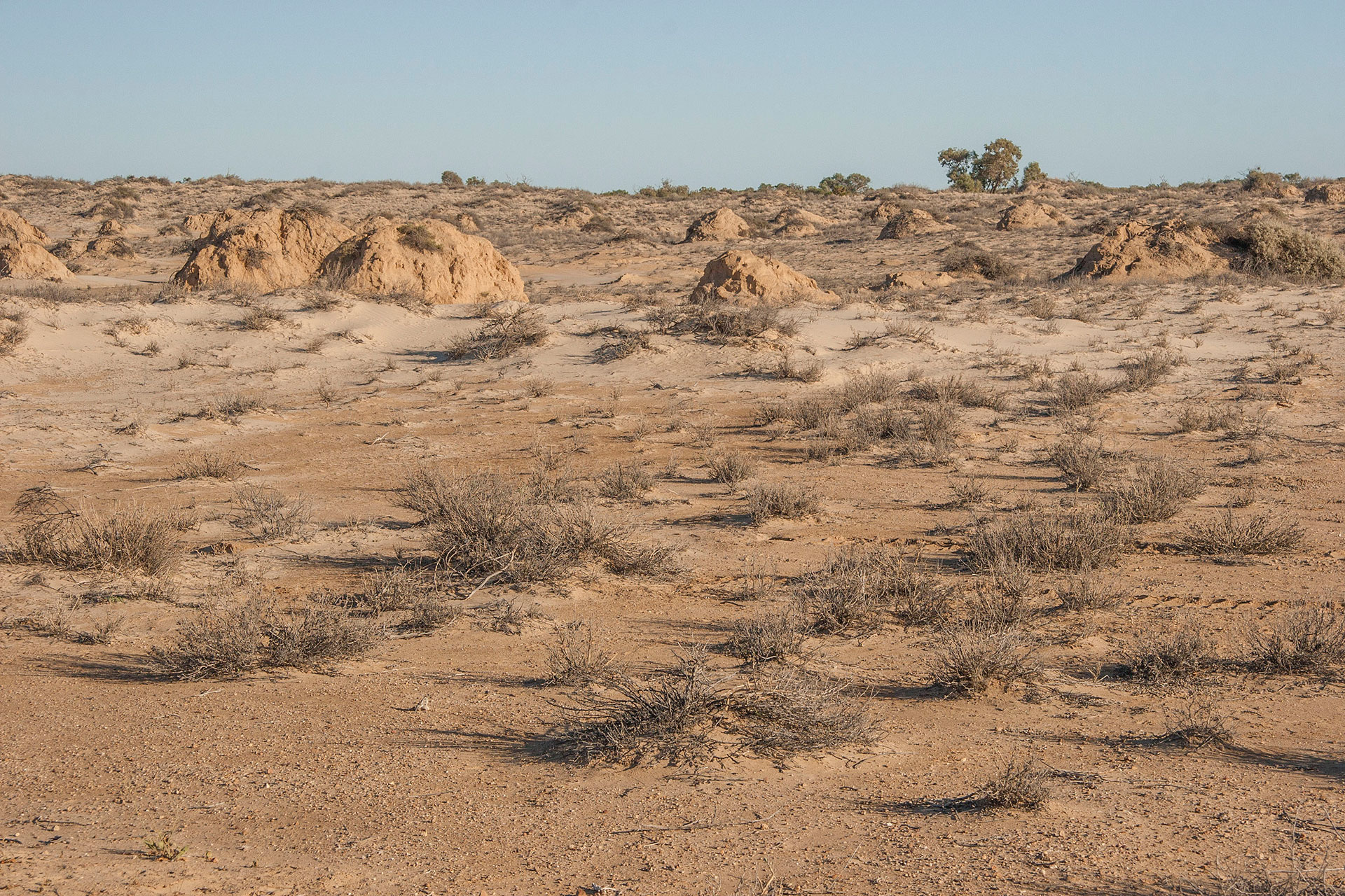 Strzelecki Desert.
At 8:10 I arrive at the place called Montecollina Bore. Artesian water is pumped out to form a few greenish, stagnant pools that support a decent amount of wildlife—including bunnies, apparently. Unfortunately, there's no shower booth here: so much for all this free hot water. I could definitely use a bath right now, but that will have to wait until later.
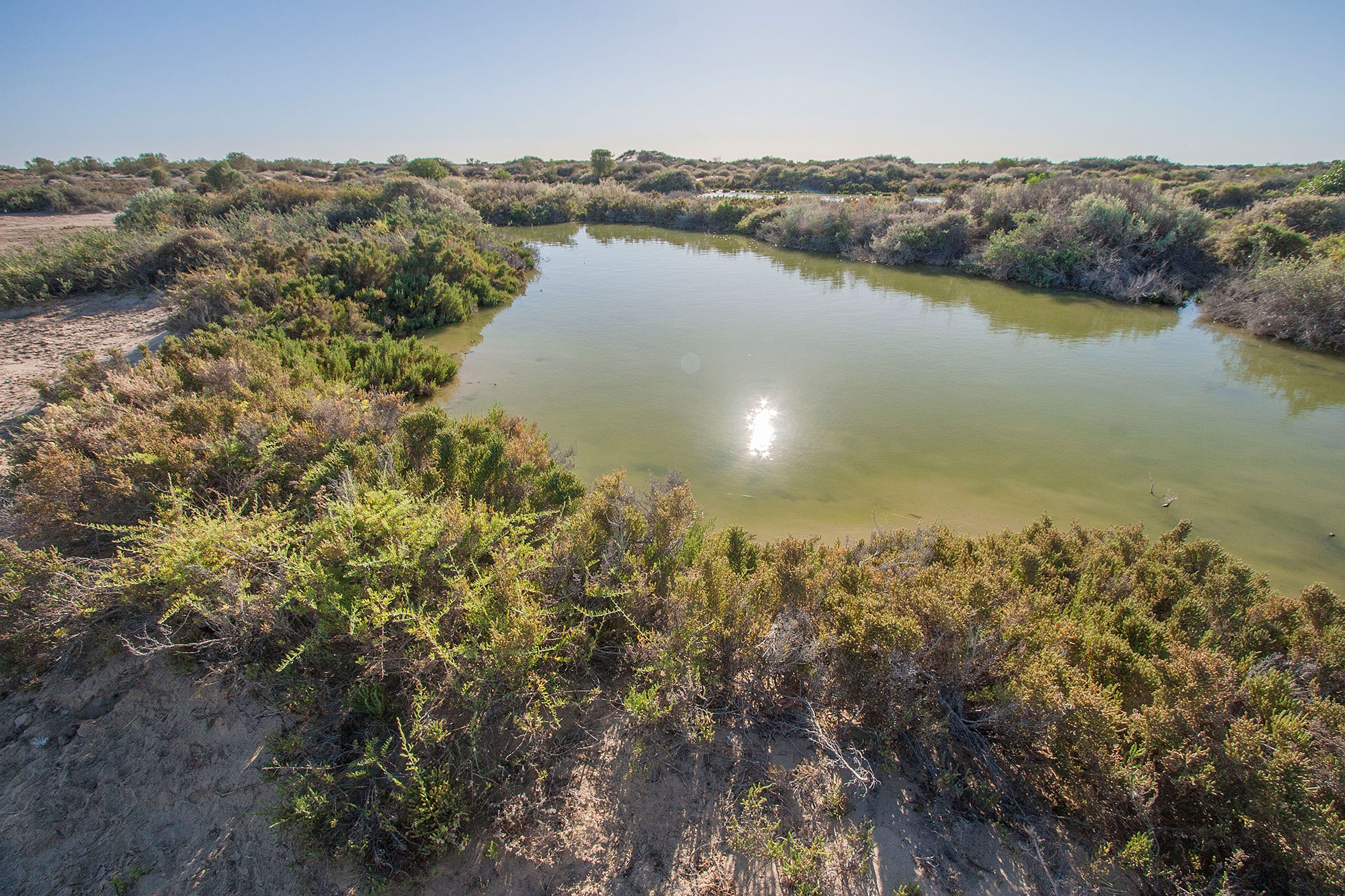 At the Montecollina Bore.
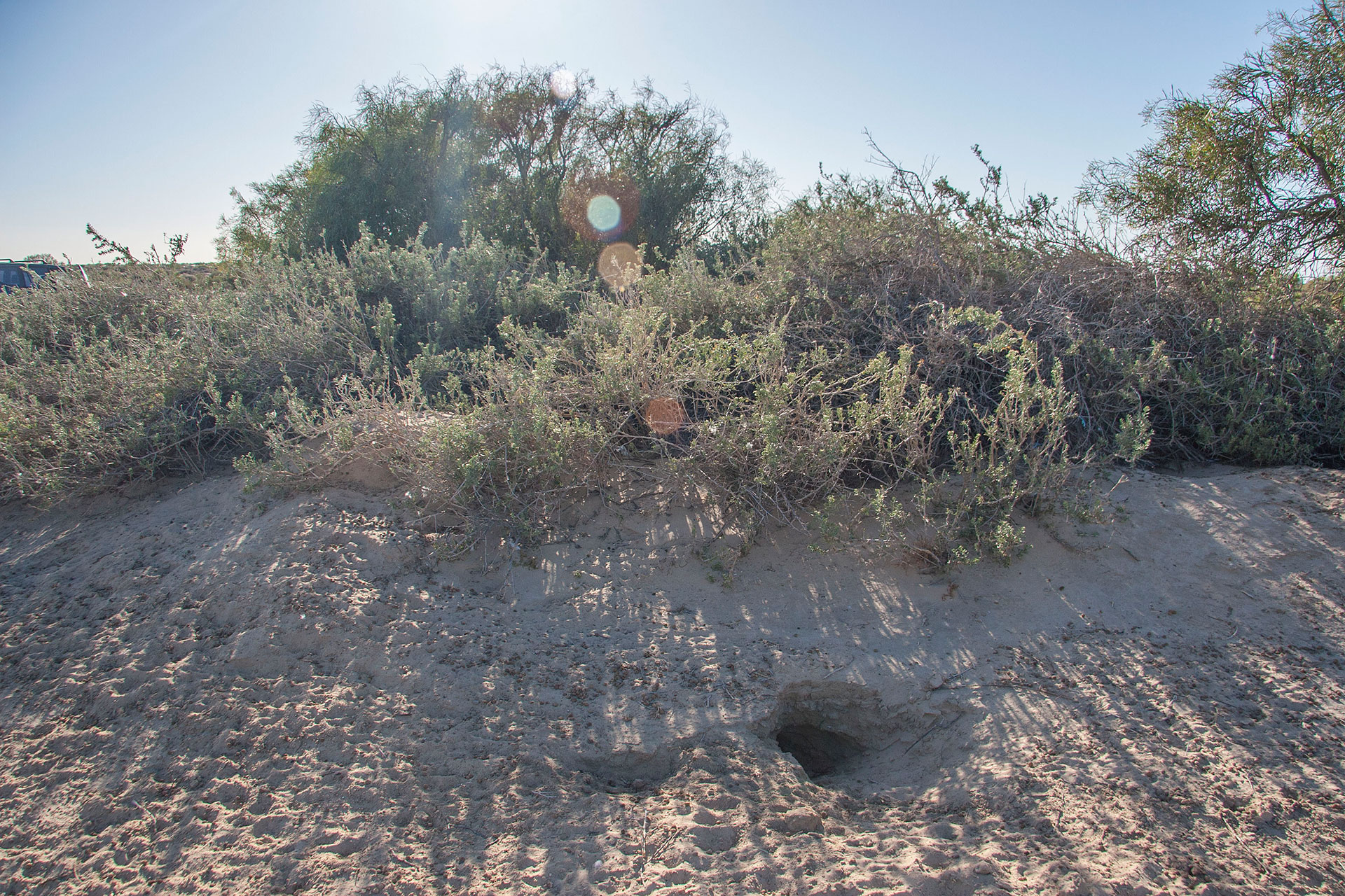 Where the wild bunnies live.
The yellow desert looks quite spectacular, and it is unlike anything I've ever seen before. They say that the more arid the area is, the more yellow the sand becomes, and I can totally believe it: Montecollina Bore looks like an isolated oasis indeed. Some dunes are stripped by the wind down to their cemented cores, and they look like some very big, very old, and half-eaten lemon cupcakes.
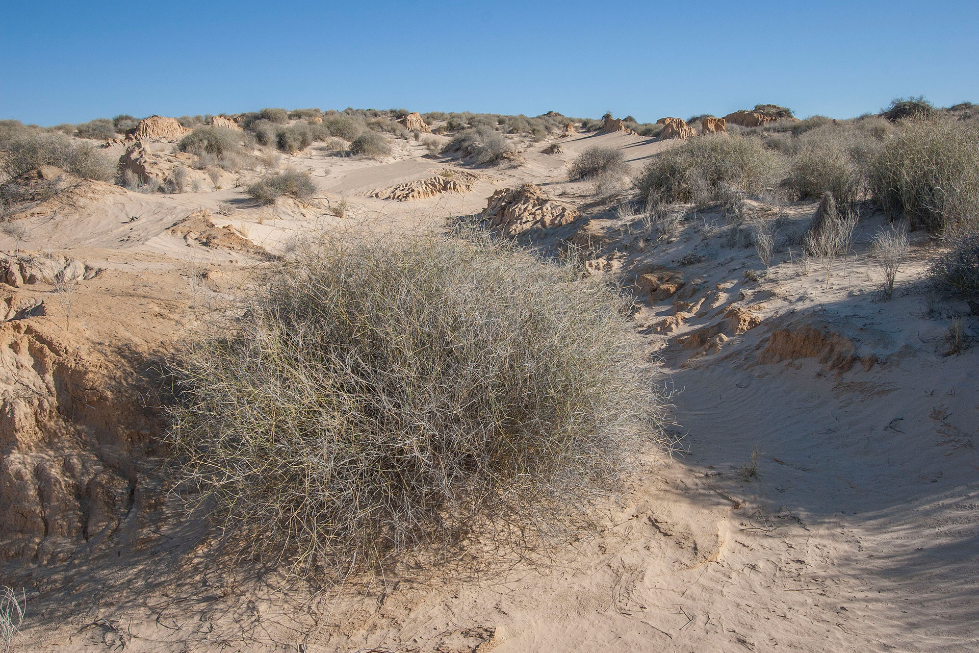 The yellow desert rages on.
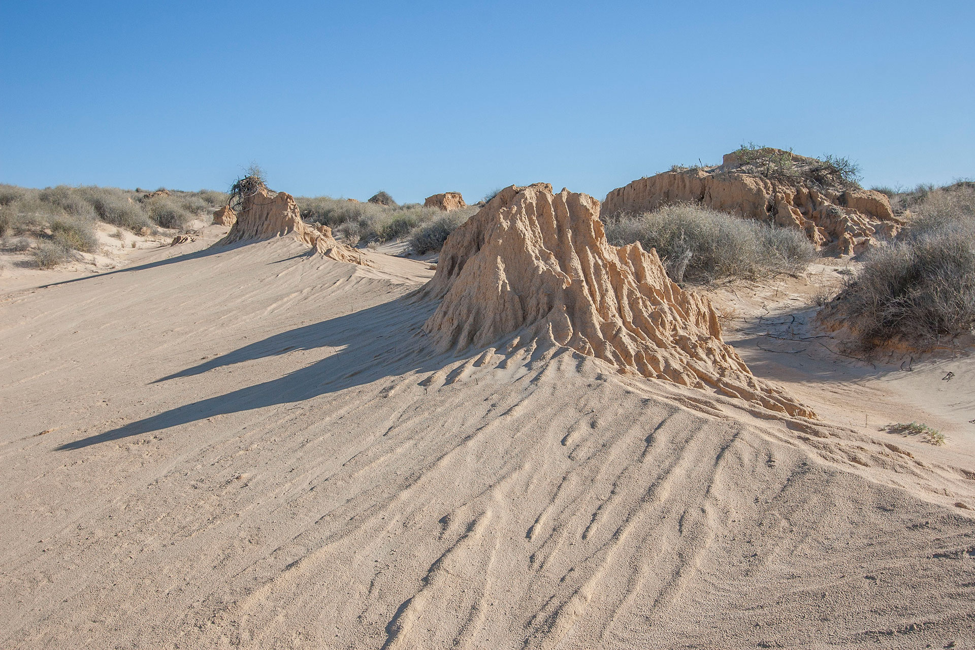 A dune's core.
These small, isolated yellow dunes, scattered across the otherwise plain country, slowly become bigger and longer. They stretch from north to south for many kilometres, and some of them indeed are many thousand years old. They are separated by patches of level ground—swales—and the road utilises these swales, running alongside the dunes and barely ever crossing them. It's very hard to make these dunes work in a photograph; shooting them from a drone would probably be more illustrative.
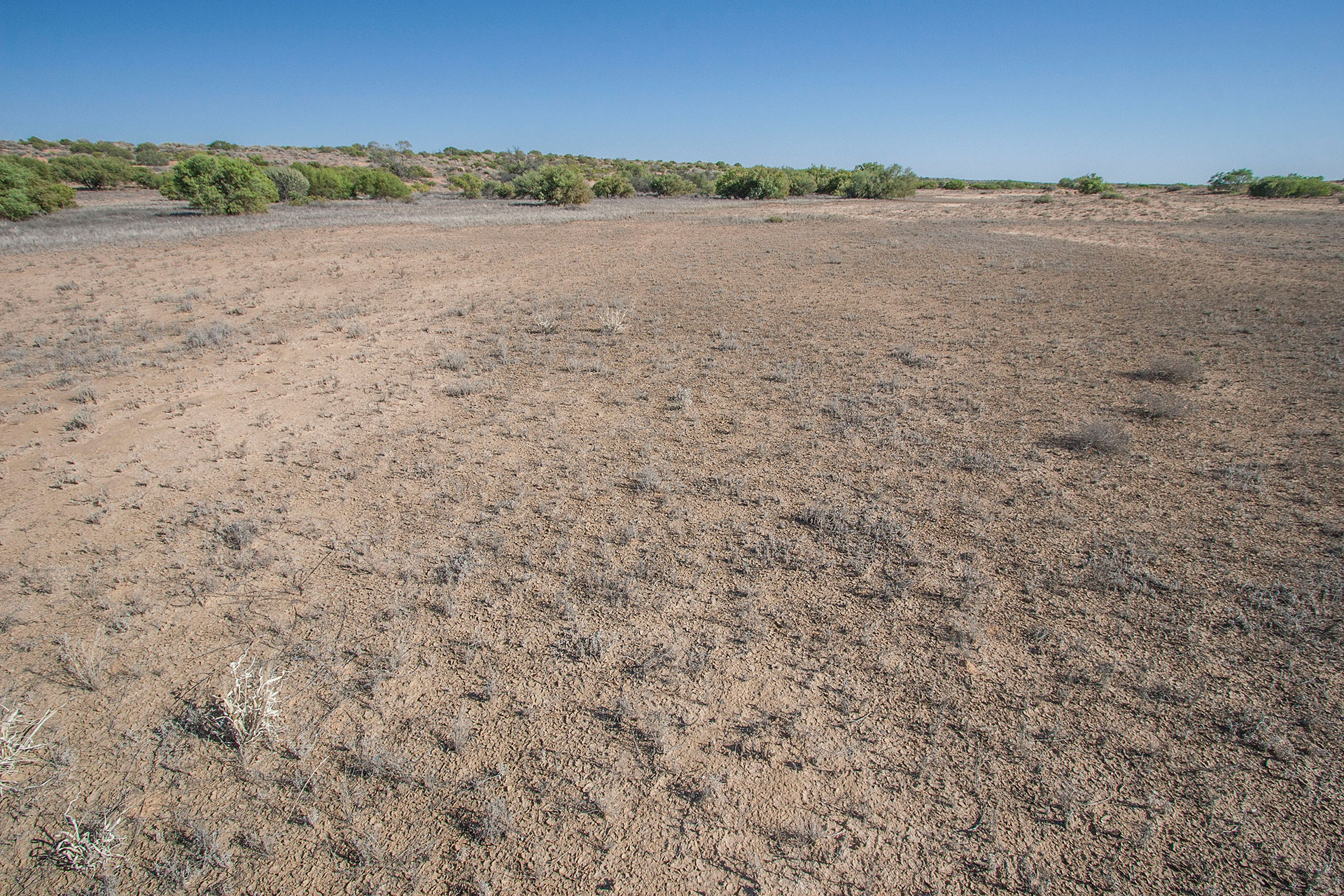 A swale and a dune in the distance.
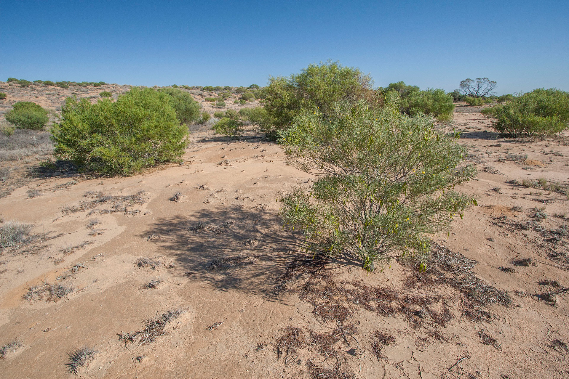 Dune vegetation.
The road takes a turn north, and after that it starts to become worse, with some pretty bad washouts here and there. I begin to see now why it's closed to everything non-4WD. An occasional sealed patch of 5-10 kilometres is always a welcome relief.
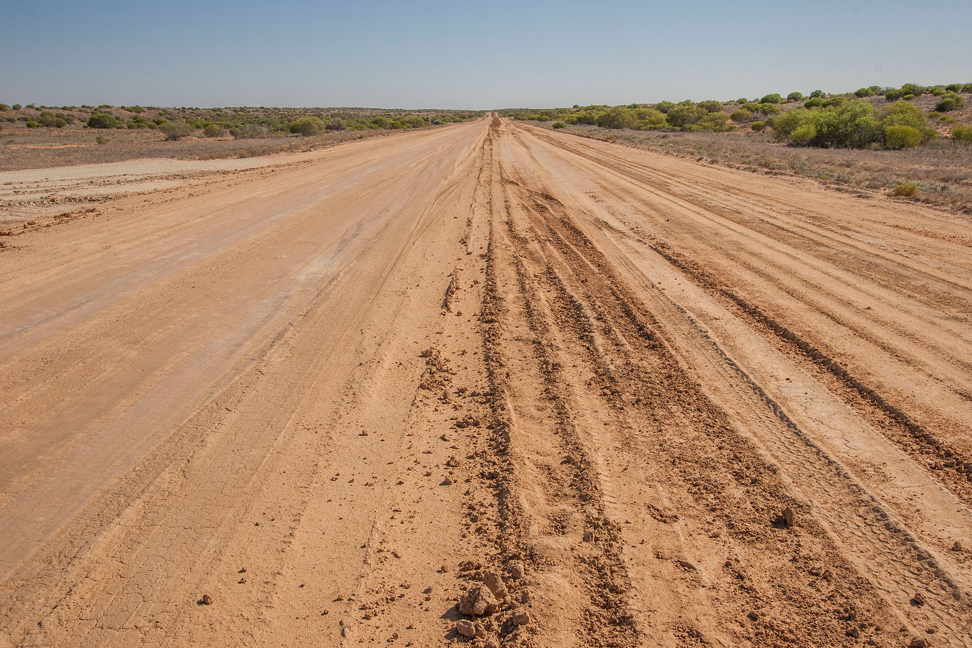 The track takes a slight turn for the worse.
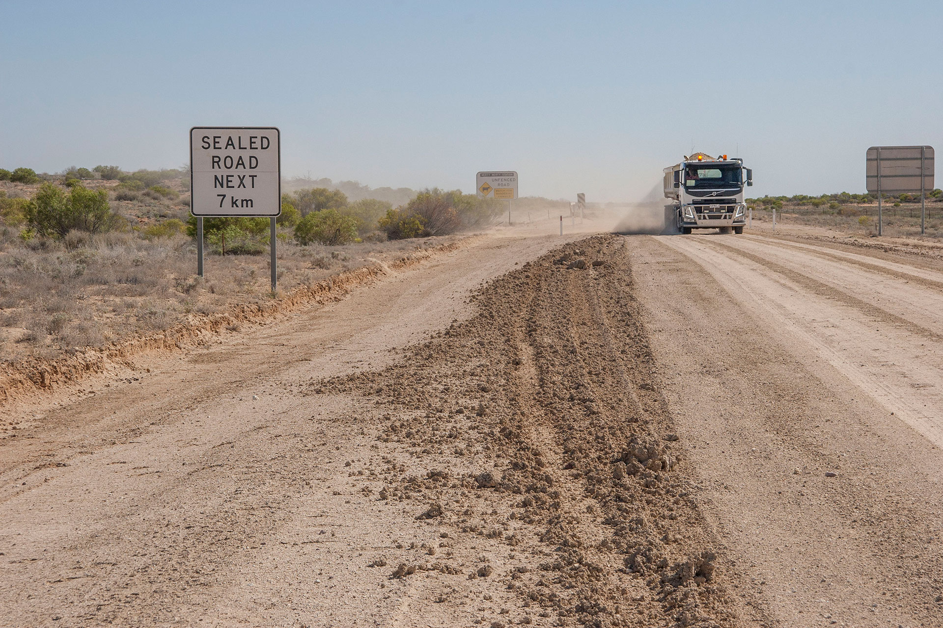 Bitumen is a rare commodity around here.
At 10:40 I reach Moomba. This is a proper mining town, and it definitely looks the part—from a distance, at least. No one except fly-in-fly-out miners lives here, and this is but one (albeit the biggest) oil and gas complex around here. The desert northwards and eastwards is dotted with them, and they supply oil and gas to pretty much every major city nearby, including Sydney, Melbourne, and Adelaide. See, my fellow Aussies, where that pale blue flame in your gas stove comes from?
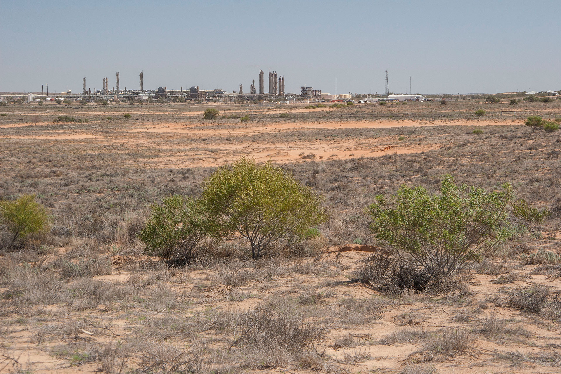 Moomba.
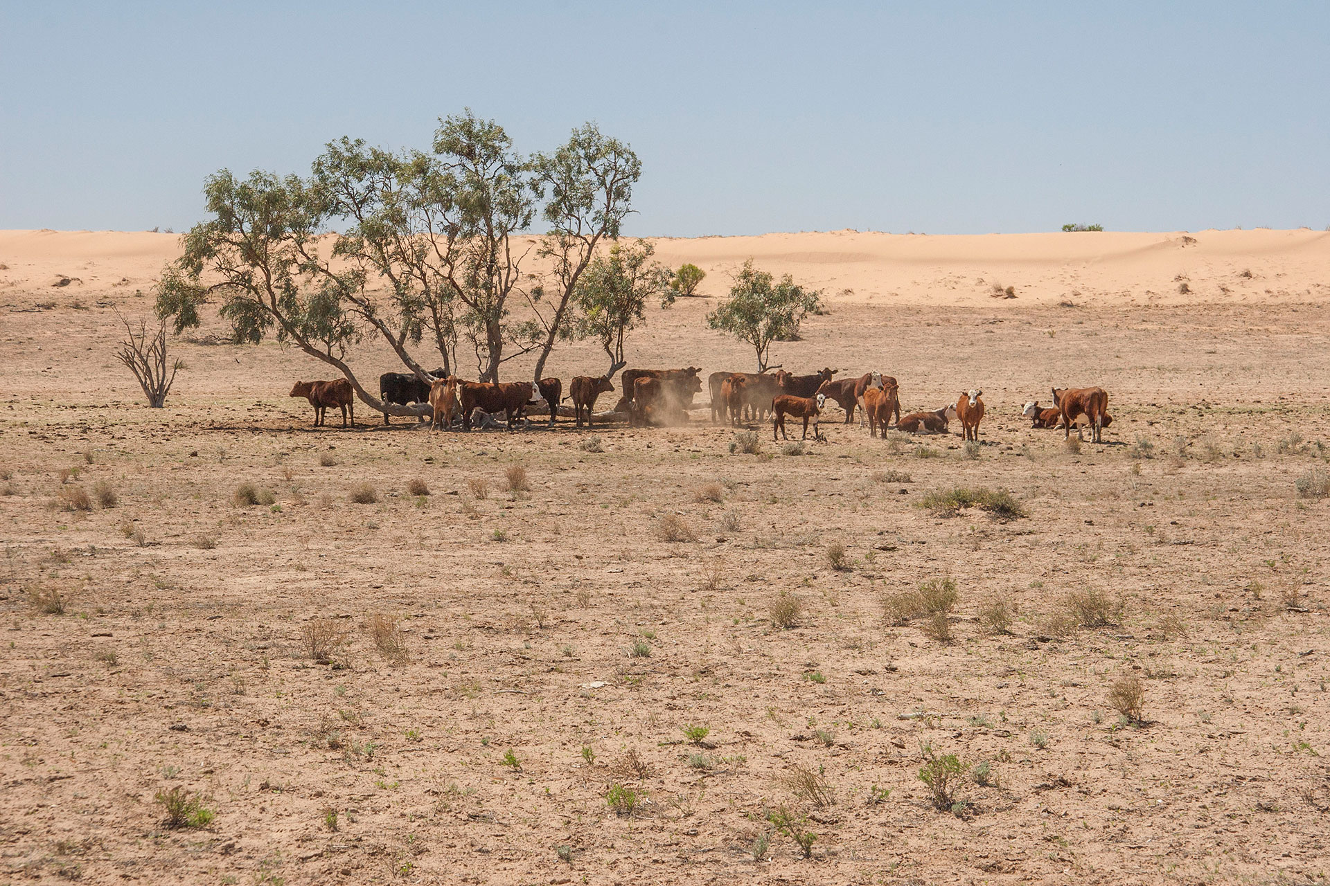 The surrounding cattle is seeking shade.
Dunes slowly become redder and redder as I progress further on the road. Apparently, it rains more often in these places, hence the more intensive chemical weathering and colour. “Rain”, however, is certainly not the first word that springs to mind as I drive past these long, old dunes. It's still Strzelecki Desert, all right.
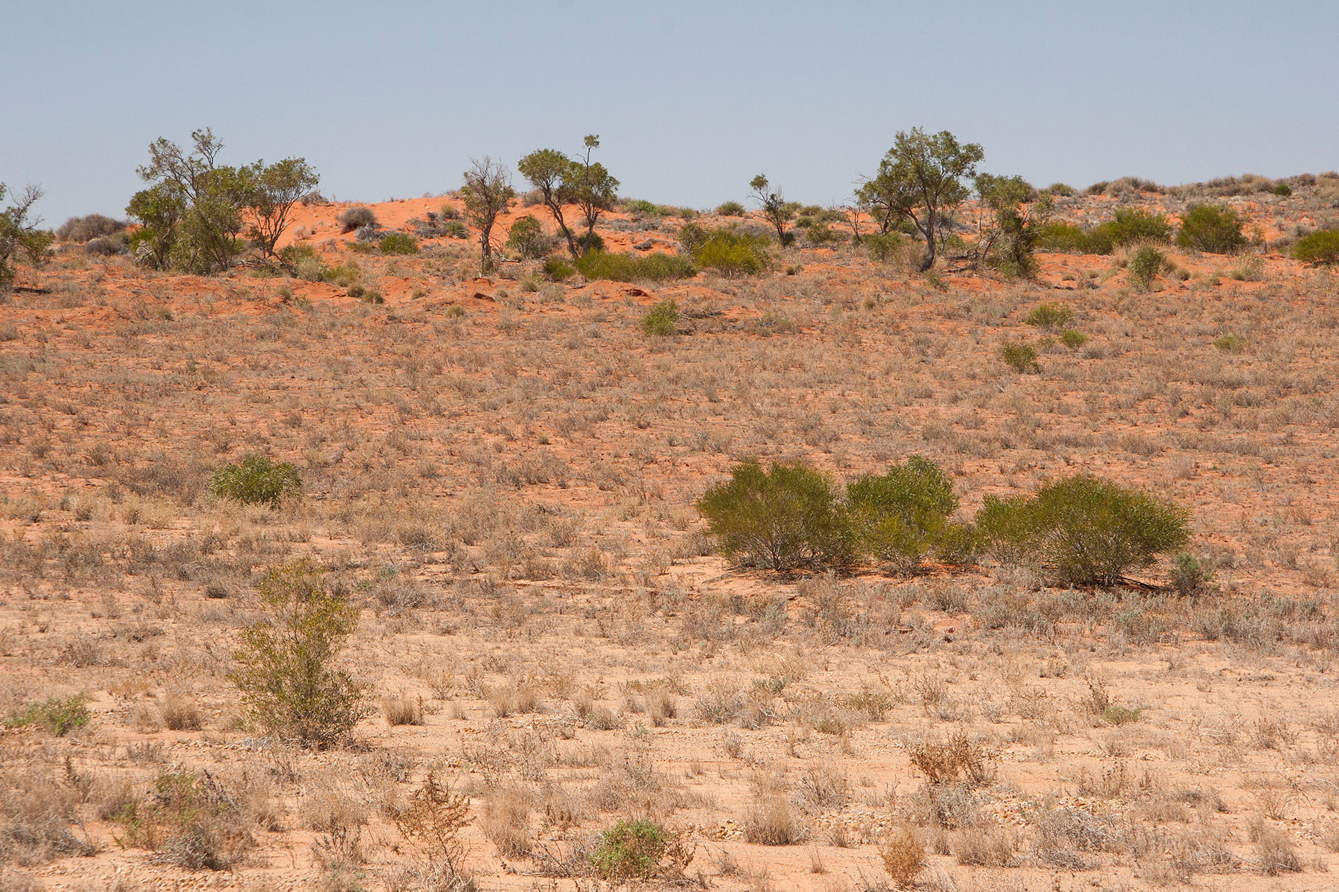 The redder dunes.
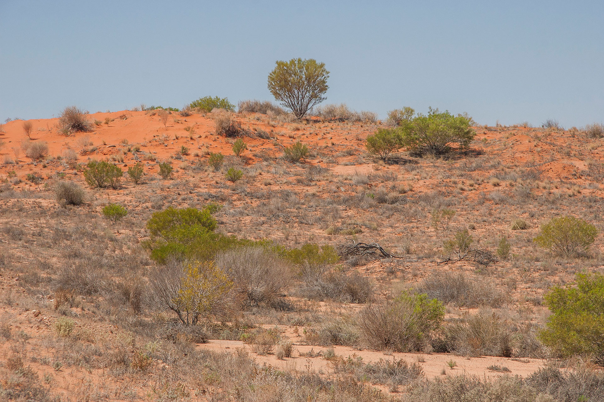 Ditto.
I arrive at the town called Innamincka at 12:30. A certain stretch of imagination is needed to call this place a “town”: only three or four buildings huddled together amidst the low, rolling hills that replace the red dunes. I help myself with a sizeable portion of fish and chips at the roadhouse, and I also take a long-awaited shower. The shower is a lot of fun. It is coin-operated, and $2 give you three minutes of showering, so unless you want your ablution to be interrupted unexpectedly, bring enough two-dollar coins with you. Two were enough for me, though, and you can't help but start thinking a bit more about things you don't really appreciate back home – water, for example. In these desiccated lands, this particular commodity is evidently quite hard to come by.
Food and showers out of the way, I ponder a little about my destinations. Heading here, I thought about visiting a place called Coongie Lakes; however, the road there is permit-only, and I couldn't secure myself a permit during my brief stay at the Moomba rest stop (the only place I could get a mobile signal during the entire day). I could obtain one at the local hotel, of course, but I still have the Sturt National Park planned for tomorrow, and I can't be sure yet how long that one would take. Finally, caution and laziness prevail, and I skip Coongie Lakes in favour of a slightly more extended route across Queensland.
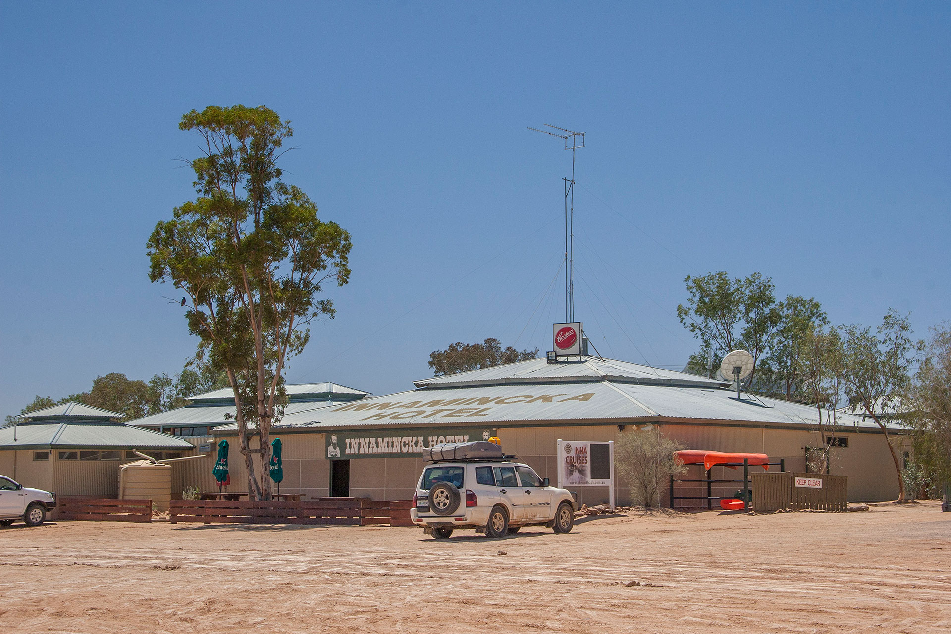 Innamincka Hotel.
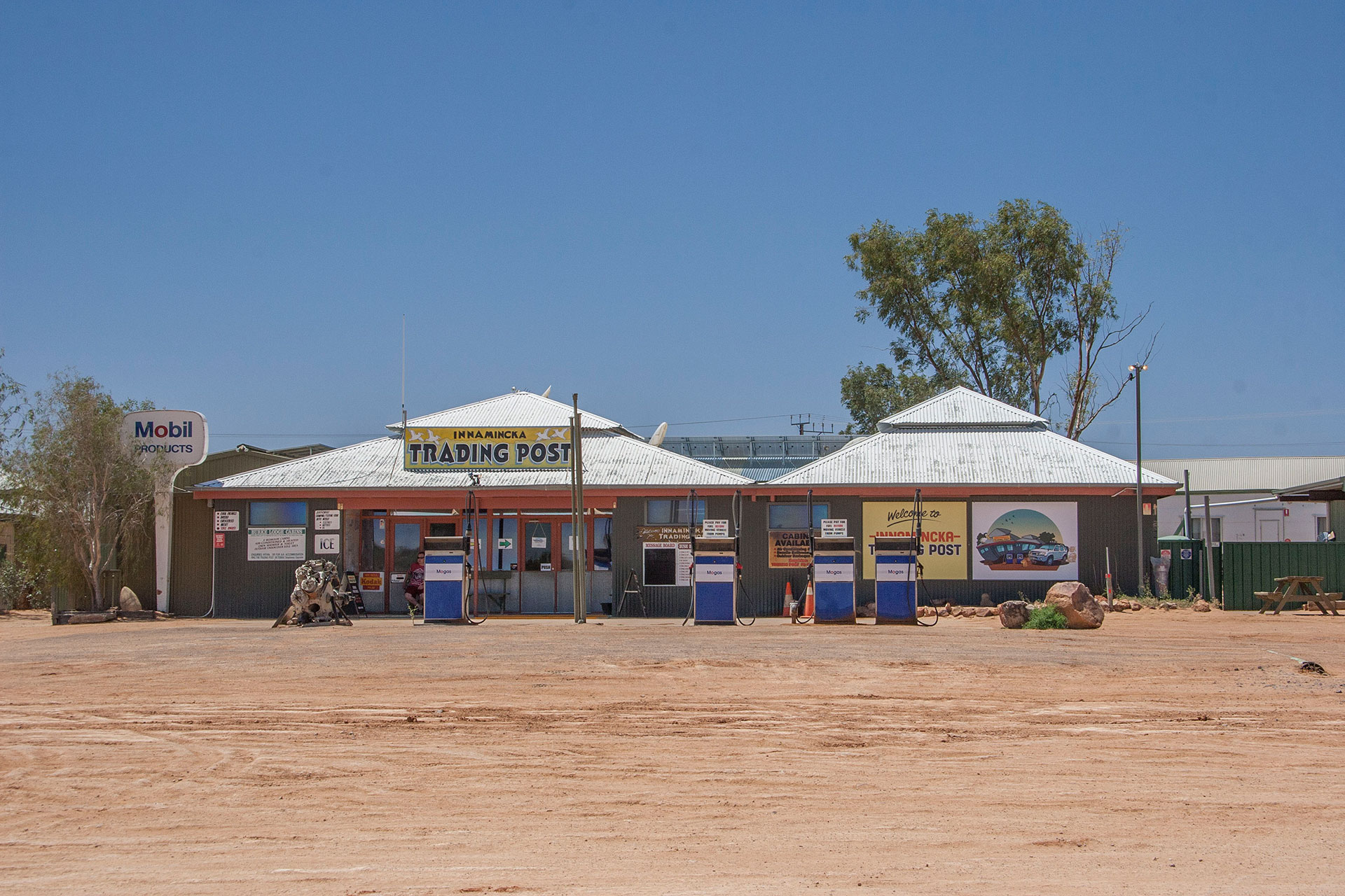 Innamincka roadhouse.
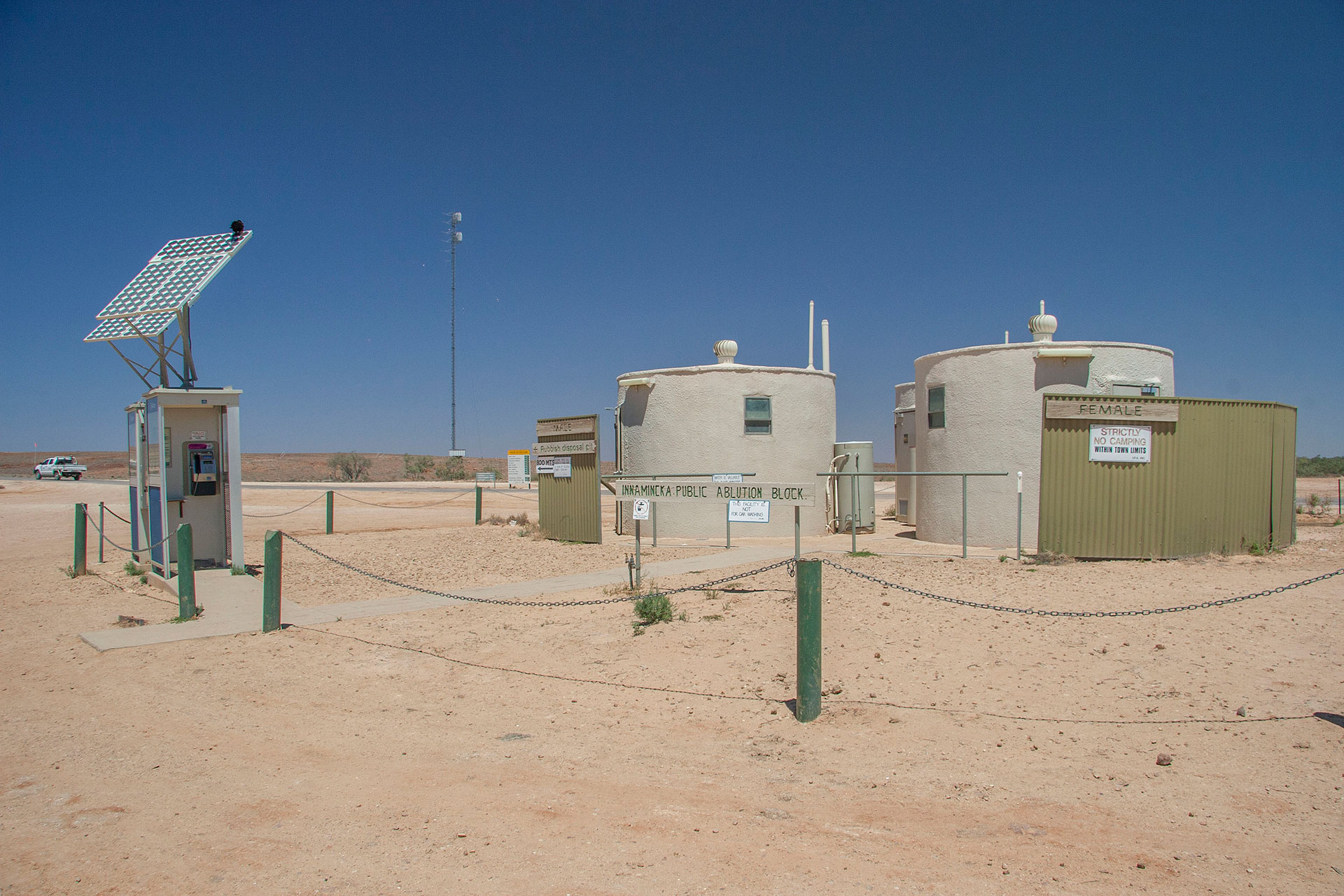 Innamincka shower booths.
Once I'm out of Innamincka, I don't even notice when I leave SA and enter Queensland: there is no signage in that regard whatsoever. The Strzelecki Track has ended, and now it's Boolia Developmental Road (a.k.a. The Adventure Way), frequented only by the trucks servicing the oil and gas mines. I'm not quite sure who is supposed to have
adventures out here: the truckies? occasional four-wheel-drivers such as myself? Or maybe the Department of Tourism will figure that one out later? Red dunes disappear altogether, replaced by the vast ochre plains with an occasional worn-down bluff in the distance. This part of Queensland is not the most picturesque, that's for sure. If the Department of Tourism is planning to entice people with scenery, this looks like a flimsy bet.
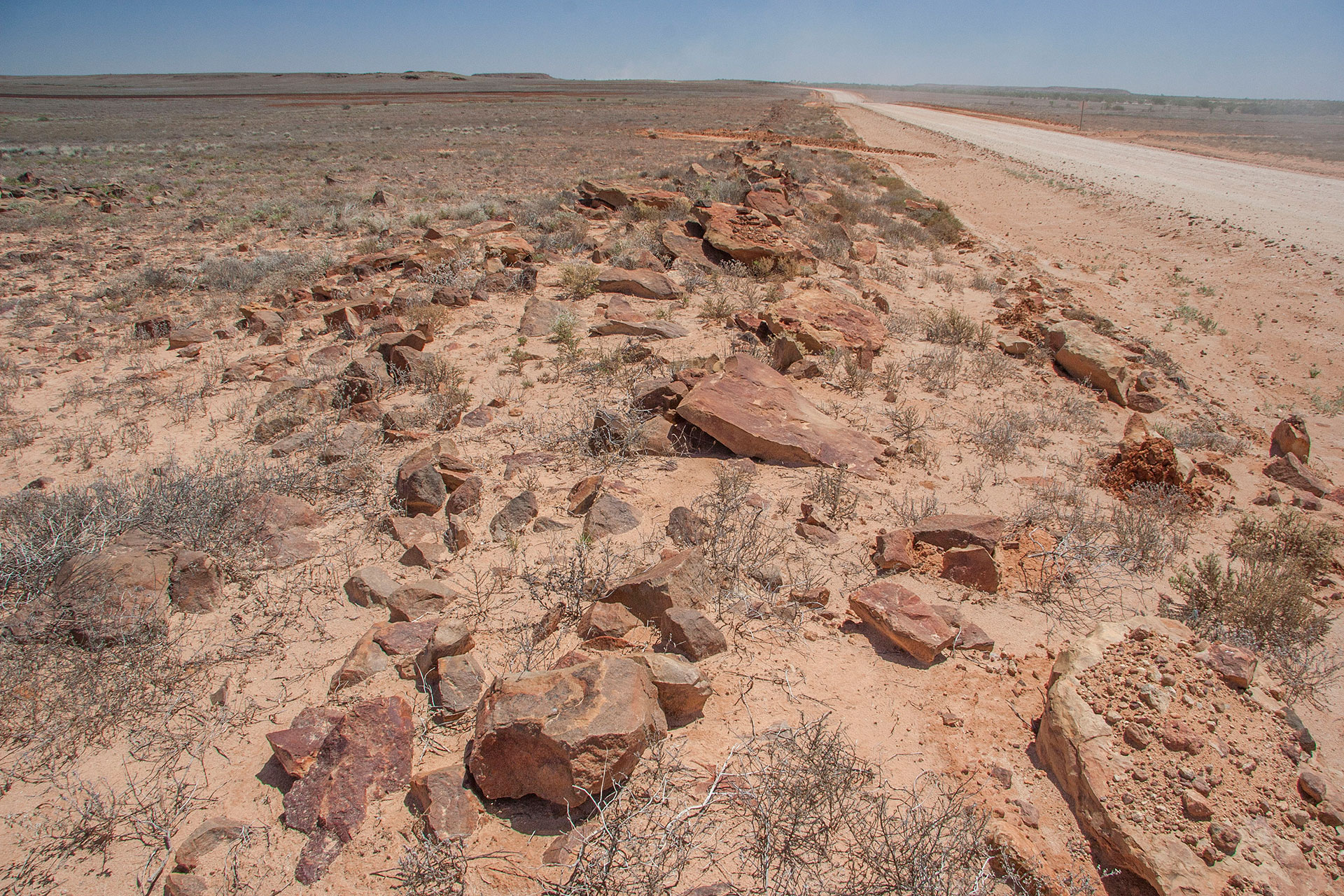 Boolia Developmental Road, a.k.a. The Adventure Way.
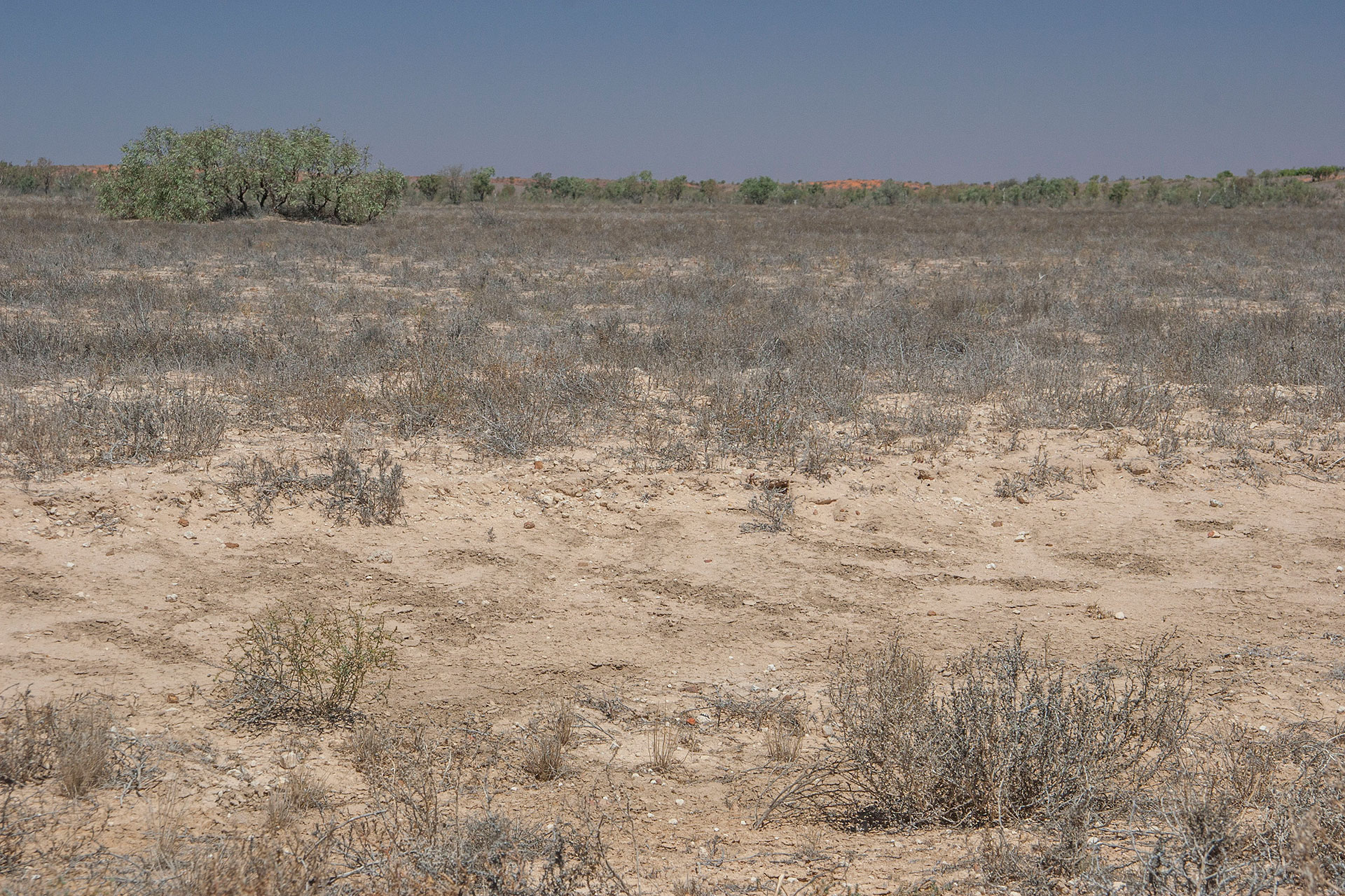 Unspectacular plains.
The road is sealed now, but it's very narrow: the “developmental” part of its title is there for a reason. I'm beginning to think that these “developmental” and basically one-lane roads are a unique Queensland's oddity: I can't remember seeing them anywhere else in Australia. Well, at least it's obvious why this one is here: oil and gas plants are still here in abundance.
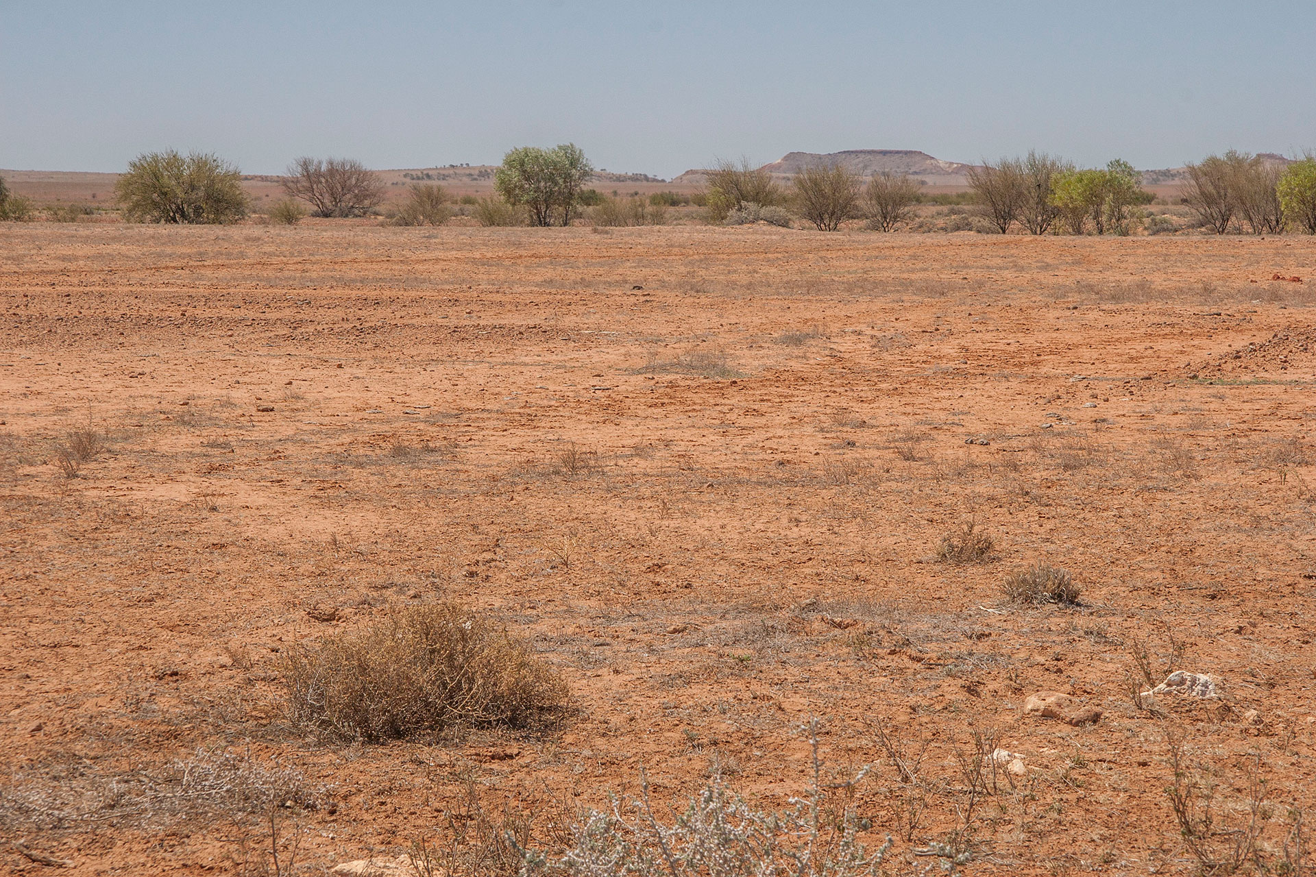 More of the red in the landscape.
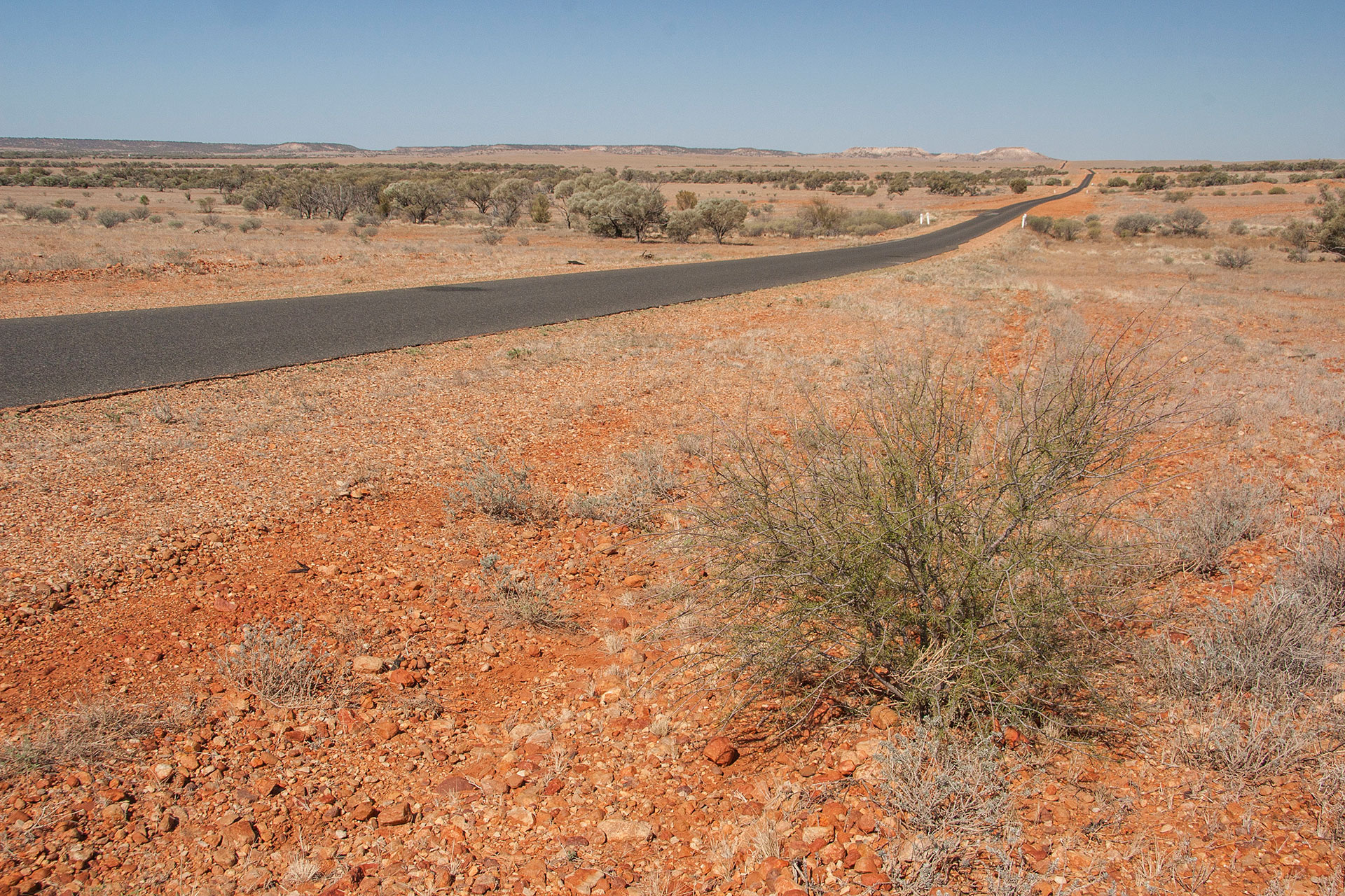 A black artery of civilization.
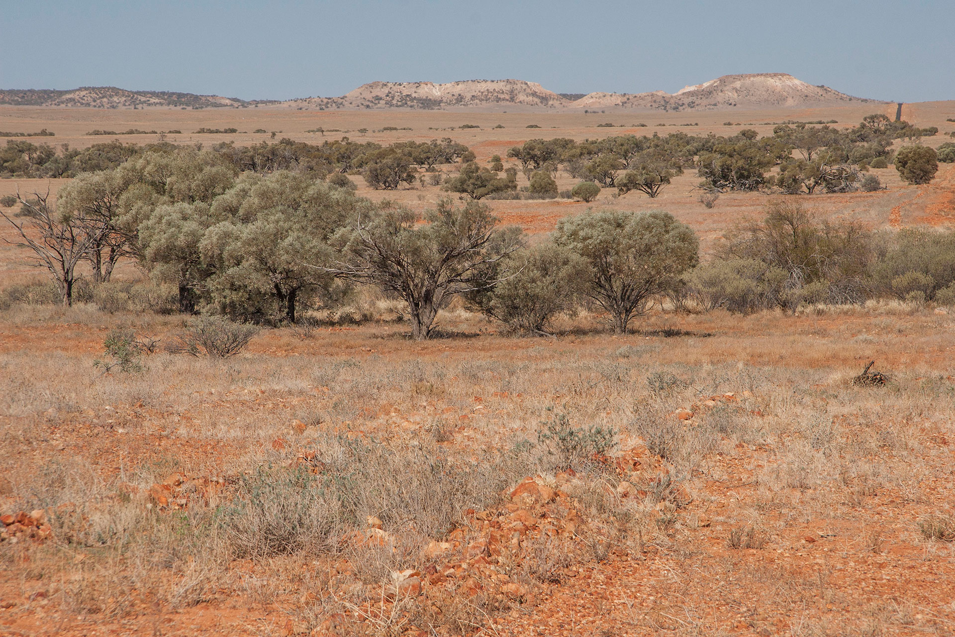 Bluffs in the distance.
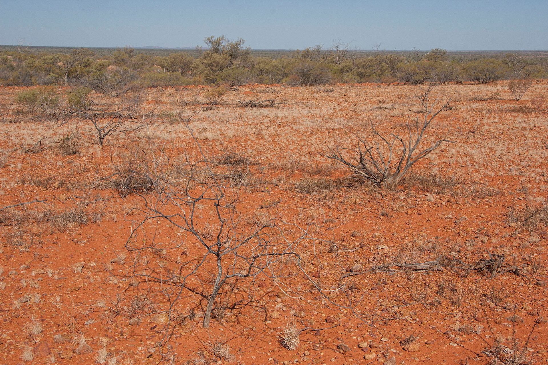 South-west Queensland as is.
Finally, I turn south: on the Silver City Highway that is supposed to take me all the way to New Wouth Wales. Closer to 5 o'clock I stop just outside the Noccundra Hotel, on the banks of the Wilson River, where a completely free campsite is waiting for me with just one other camper van in the distance. After hours of red dunes and gibber plains, the turbid green waters of Wilson are a treat for sore eye.
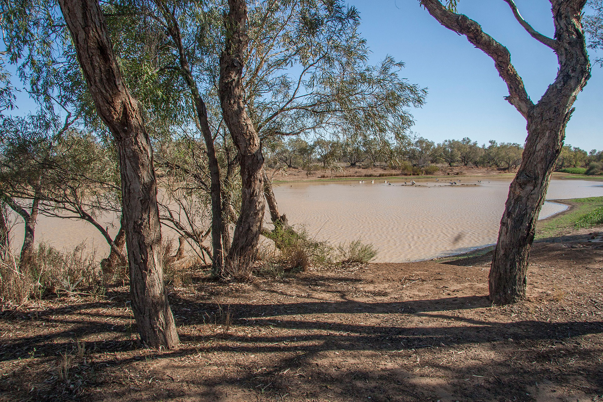 The river bank.
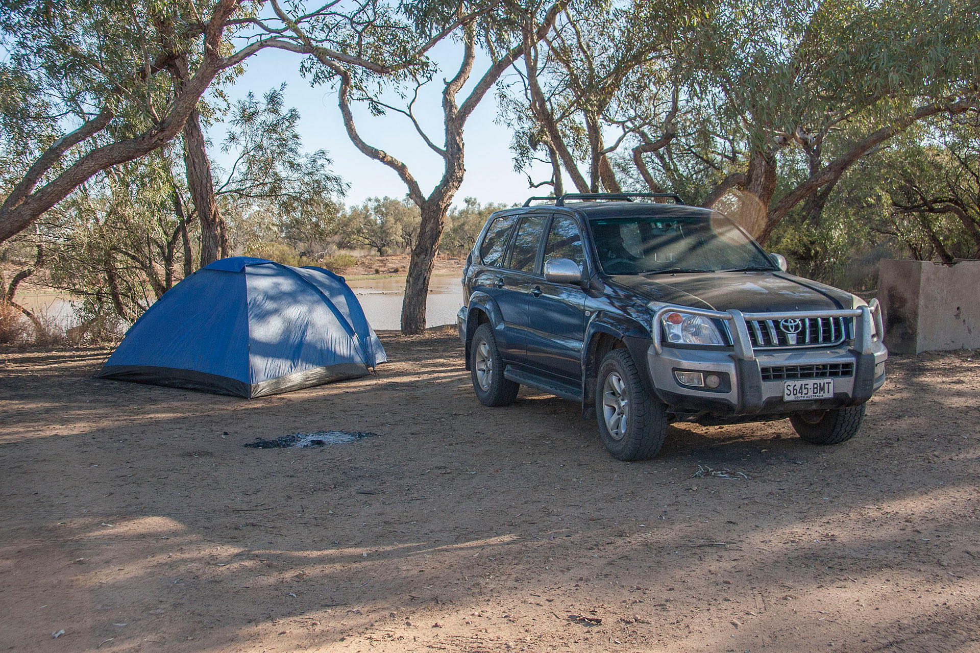 Today's camp.
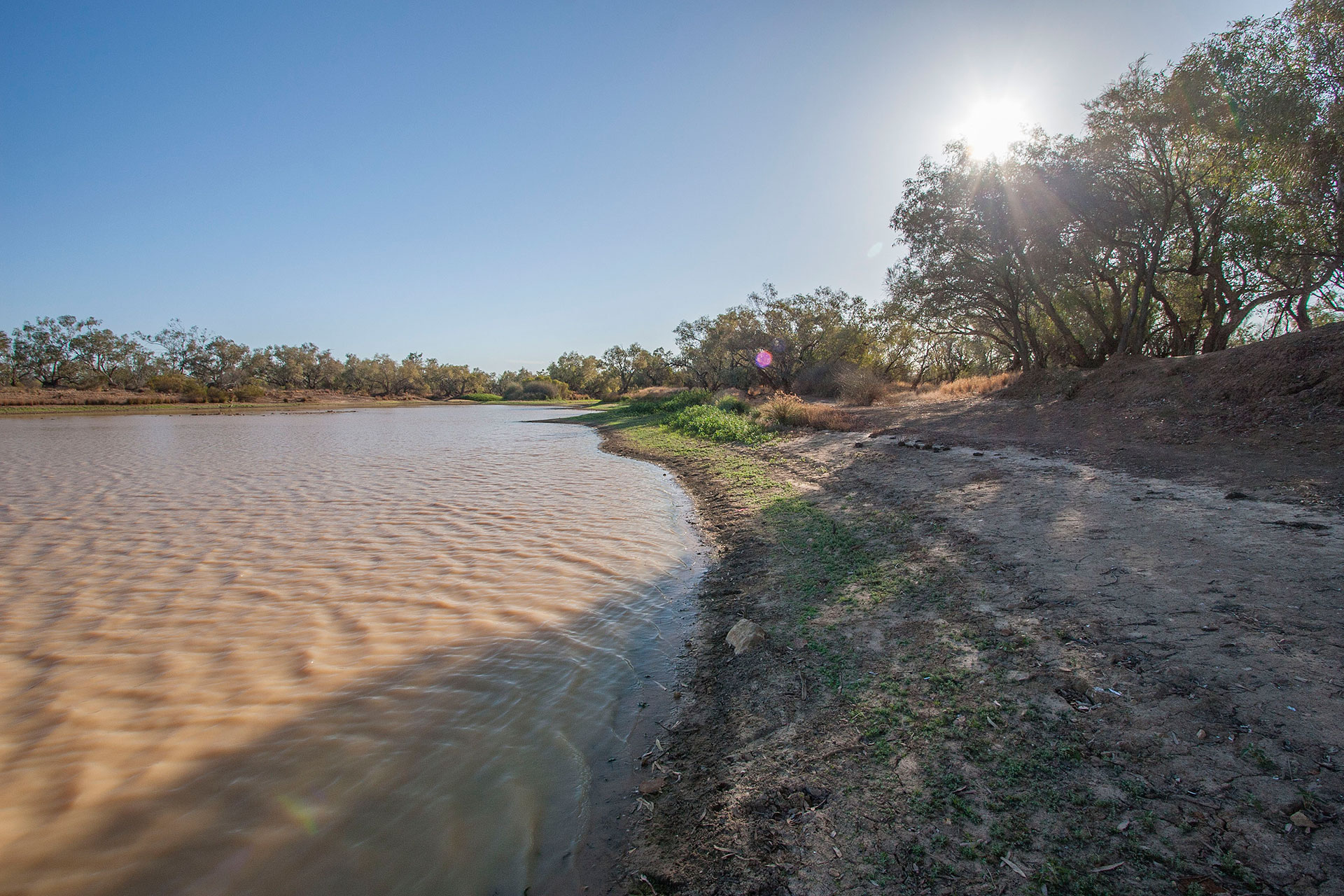 A very pleasant evening.
The place is literally infested with flies: I haven't seen so many even in the Red Centre, which is famous for them. Hundreds of flies, seemingly, are eager to land on my face while I'm pitching my tent. Oh well. At least it's not as windy as yesterday, and at dusk they will all be gone anyway. Plenty of time to have some tea, eat my dinner and read my book before going to sleep.
 Today's itinerary.
 Strzelecki Track.
 A new morning on the road.
 So flat out here.
 The last glimpse of Gammon Ranges.
 A yellow dune with bunny tracks.
 Strzelecki Desert.
 At the Montecollina Bore.
 Where the wild bunnies live.
 The yellow desert rages on.
 A dune's core.
 A swale and a dune in the distance.
 Dune vegetation.
 The track takes a slight turn for the worse.
 Bitumen is a rare commodity around here.
 Moomba.
 The surrounding cattle is seeking shade.
 The redder dunes.
 Ditto.
 Innamincka Hotel.
 Innamincka roadhouse.
 Innamincka shower booths.
 Boolia Developmental Road, a.k.a. The Adventure Way.
 Unspectacular plains.
 More of the red in the landscape.
 A black artery of civilization.
 Bluffs in the distance.
 South-west Queensland as is.
 The river bank.
 Today's camp.
 A very pleasant evening.