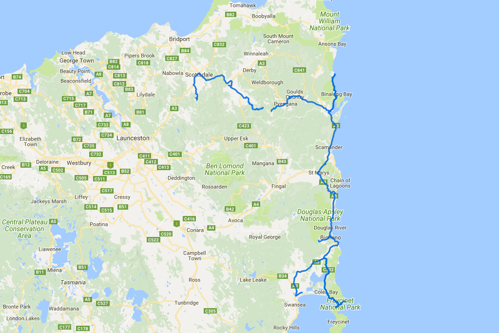
 Distance covered: 355.2 km. The gap is where I forgot to switch my GPS tracker back on in time.
The morning is quite sunny, but by the time I get to the Freycinet National Park the sky is overcast again. Erratic Tassie weather doesn’t work in my favour this time. Luckily, there’s no rain, and nothing stops me from taking a hike towards the Wineglass Bay lookout. It doesn’t look impressive at this weather, but what can you do?
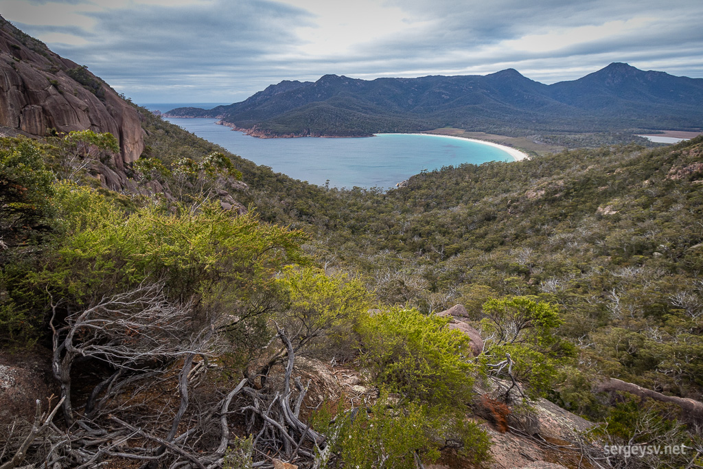 The Wineglass Bay.
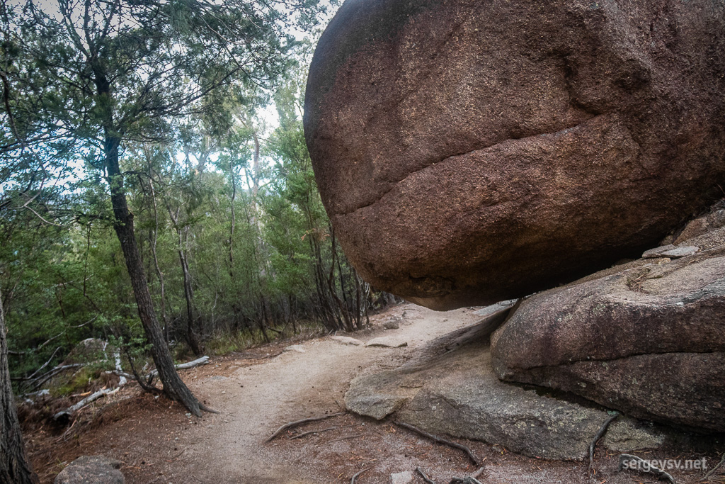 Cool boulders on the way there and back.
Couldn’t avoid the vehicle entry fee here, so I pay the full $24. At least I got two bottlefuls of free tap water for it. I briefly consider taking a much more challenging hike to the mountaintop, but finally decide against it and drive towards the Sleepy Bay and Cape Tourville instead.
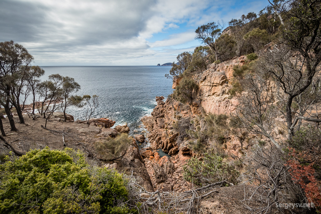 The Sleepy Bay.
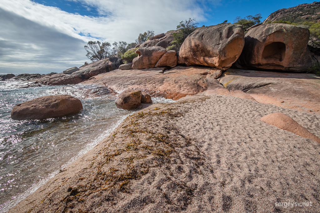 Pink rocks on the beach.
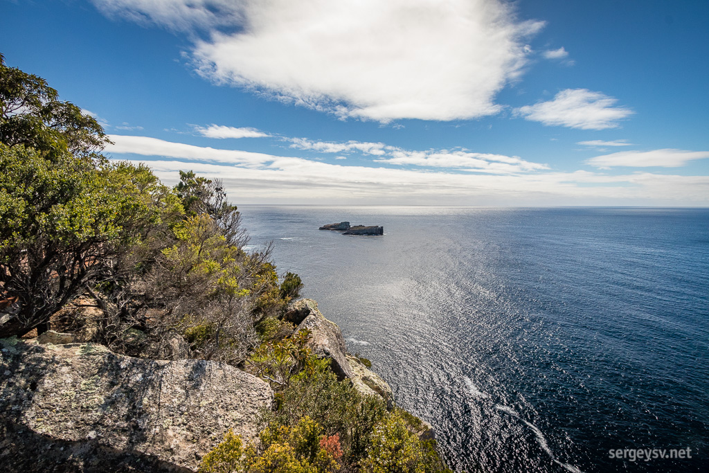 At the Cape Tourville.
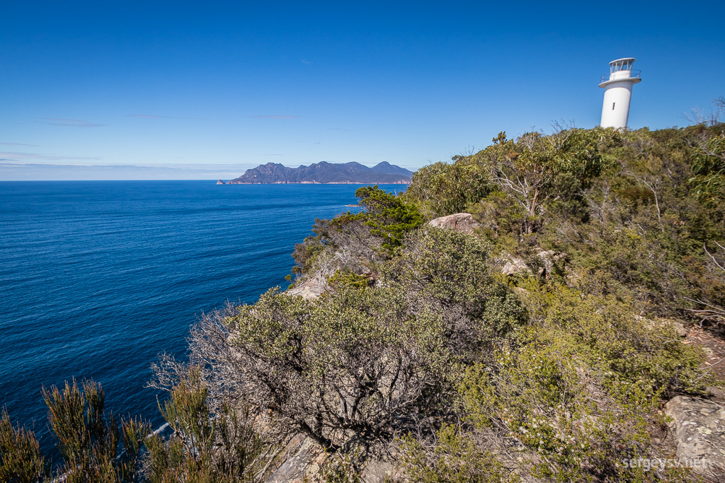 The eponymous lighthouse.
Leaving the park, I carelessly speed past the 40 km/h sigh at Coles Bay… and get caught. A policewoman pulls me over and asks if I had any traffic offences in Tasmania previously. No? Okay, she’ll just give me a caution instead. No fine this time, but could I please be more careful. Cheers! When she departs, I sigh in relief. Indeed, doing 64 in the 40 zone is just a little bit too ballsy.
I drive a bit further off north and stop for a hike to the Apsley Gorge. On my way there, however, I notice a warning sign that tells me that in order to get there, I may have to swim across creeks on a few occasions. Um. Really? The day gets hotter, and the hike gets steeper, and the forest around is very dry and open and gives no protection from sun at all.
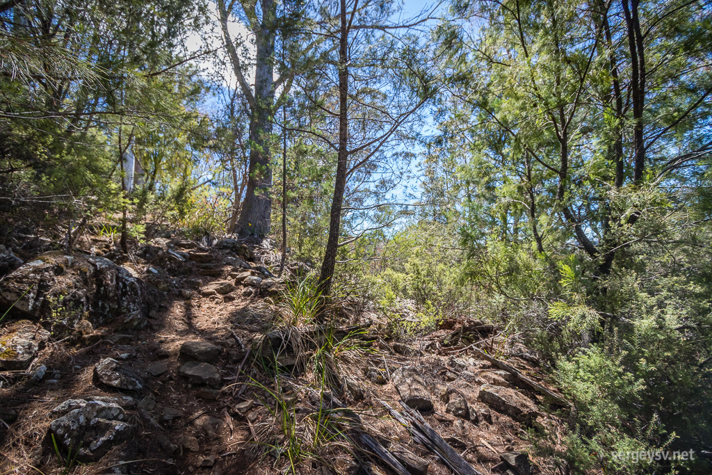 The Apsley Gorge walk.
I see a few people coming back down the same path and ask them if the walk did involve swimming for them, and they say yes. This tips the scale way back to the “screw it” zone, and I return to the parking lot. Only when I get there I realise that they might have meant something else entirely, and went swimming at the end of the hike, but I shrug it off. Plenty of sights to see yet, anyway.
On my way north to the Bay of Fires I take a detour to St Marys to take a look at the mountain passes leading to it. It proves to be a waste of time, because there is nothing scenic about them at all. Oh well. At least the town itself looks lovely, and I see sheep grazing practically on the beach on my way there.
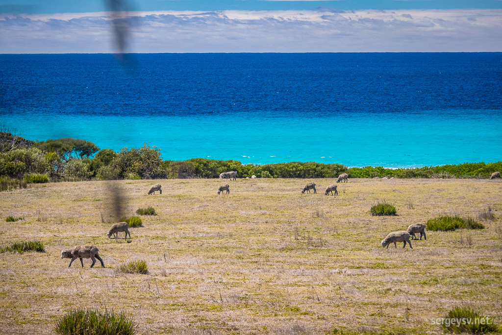 The beachside sheep.
Finally, I reach The Gardens and the Bay of Fires. No one is quite sure whether it’s named after the Aboriginal fires that sailors saw from the ocean, or after the fiery-looking lichens covering the beachside rocks, but at least the lichens are still there for us to see. They look very scenic indeed, and so do the rocks and the bay itself.
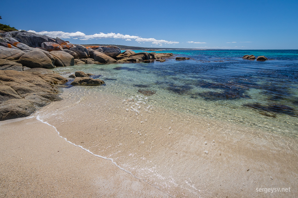 The Bay of Fires.
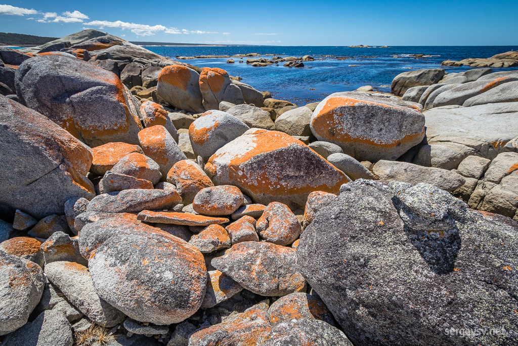 Lichen-covered rocks.
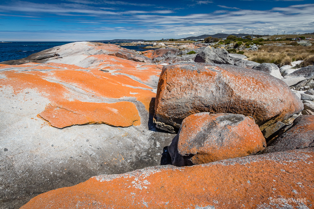 The weather is wonderful, too.
After 3 p.m. I arrive at the Halls Falls. The place is unexpectedly scenic, and the leisurely cascades give me plenty of photographic opportunities. Much less people around than at the Bay, too.
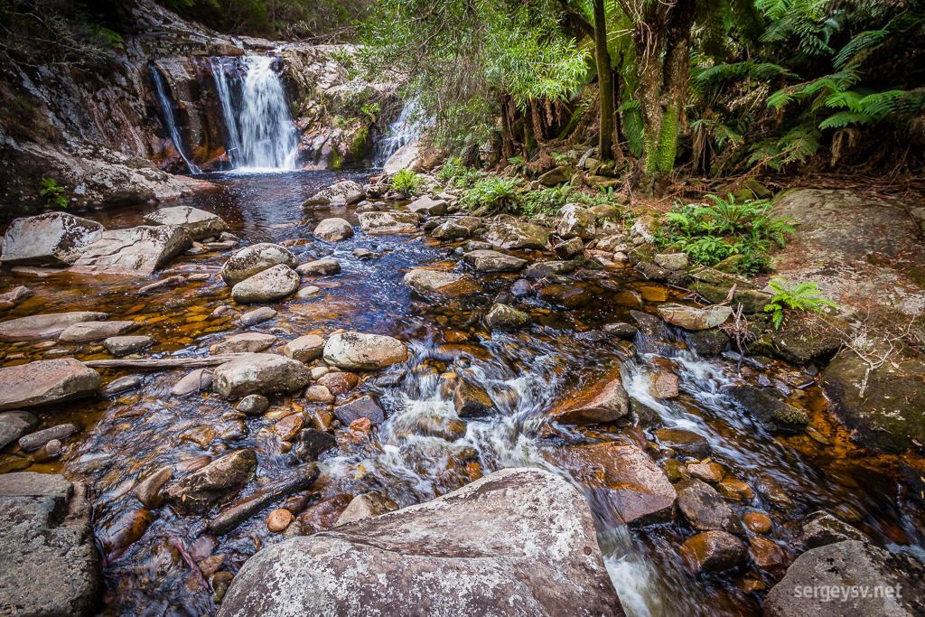 Halls Falls.
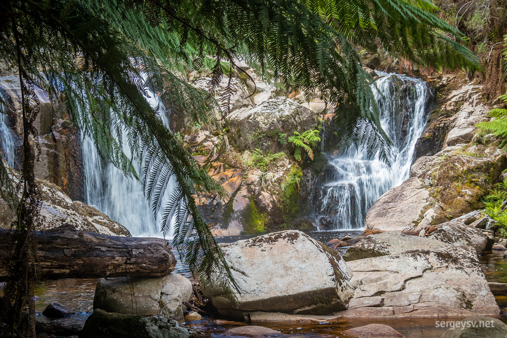 Ditto.
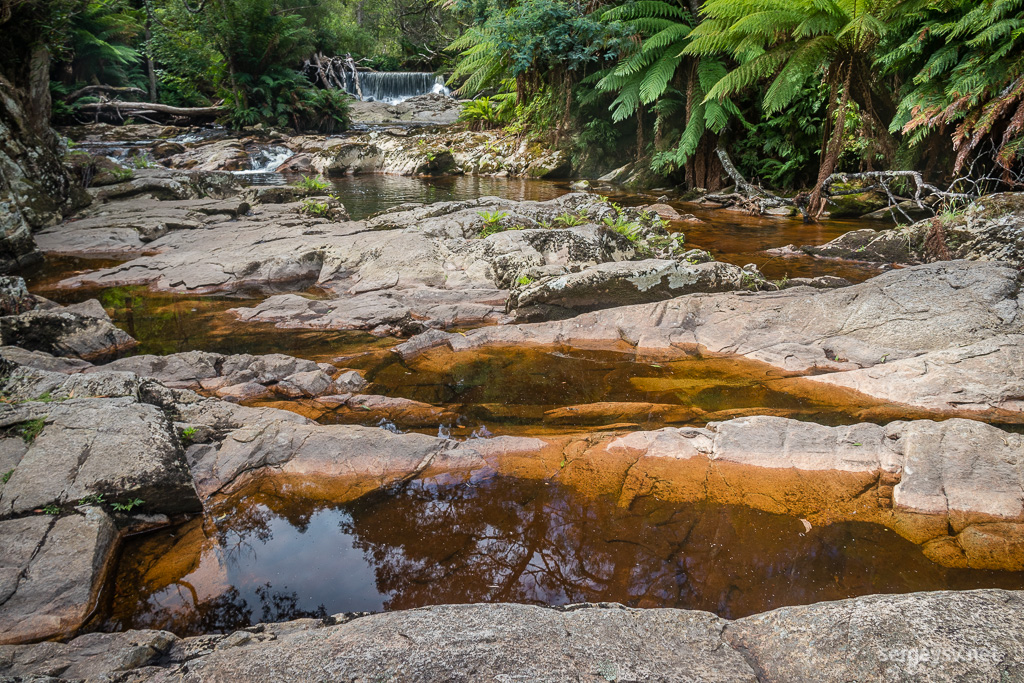 The rocky creek.
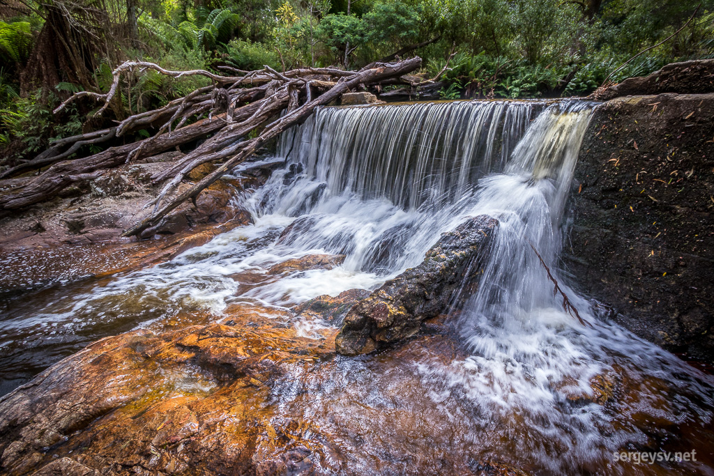 One of the cascades.
An hour later it’s time to look at the St Columba Falls. Even less people around: the road is taking me slightly further off the popular tourist routes.
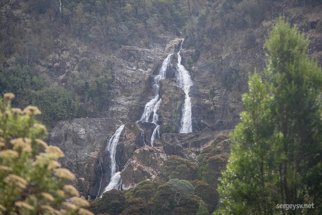 St Columba Falls, from the distance.
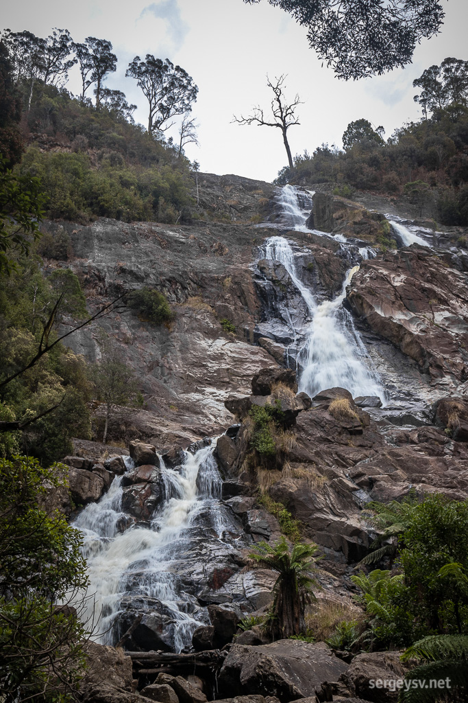 St Columba Falls, from below.
The bitumen ends after that, and the gravel is quite bad at places, obviously ruined by the logger machinery. Half of Tasmania, it seems, is covered in timber forests that are felled down and regrown regularly. Timber forests (fallen or not), farmlands and rainforests is what you see out of your car window 95% of the time.
About an hour of walking takes me past the Cashs Gorge and the Ralph Falls. No bitumen, no tourists – this rule works like a charm here as well. The forest around looks quite eerie, though. Very alpine-looking, very barren, and very quiet. Not even a single bird chirp. The experience is slightly unsettling but very, very picturesque.
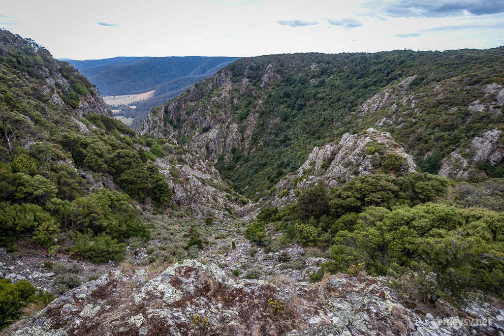 Cashs Gorge.
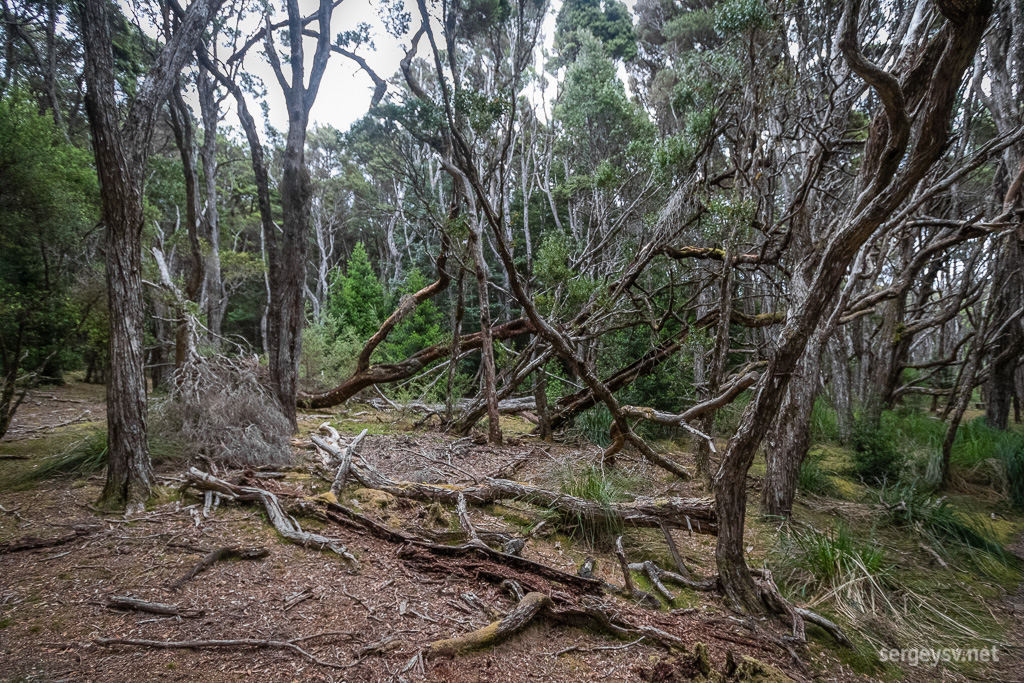 Barren-looking forest.
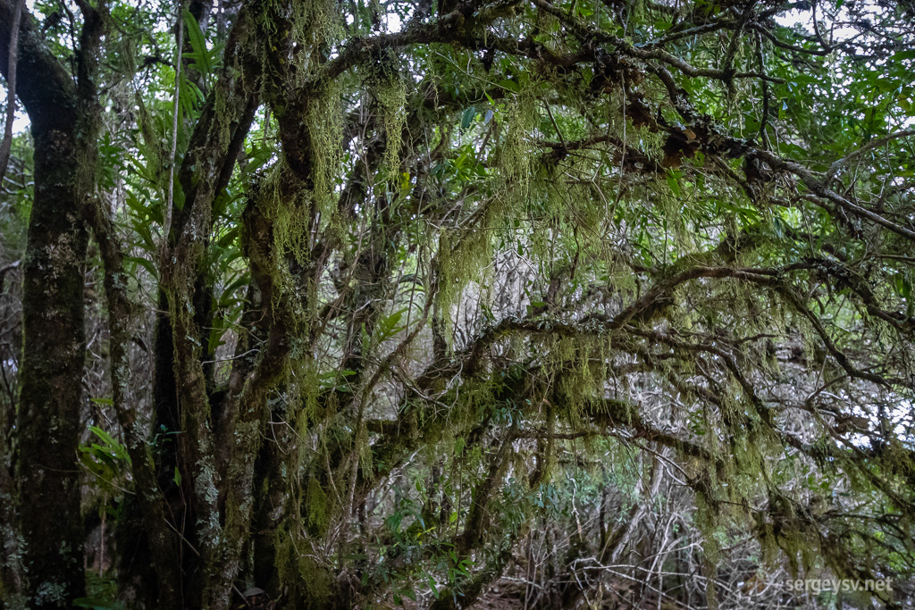 How cool is this moss, though?
Ralph Falls is probably the most peculiar waterfall I’ve seen in Tasmania so far – or anywhere else, really. A monstrous outcrop of layered basalt exposes a cleft where the water streams down at a slight angle from a very high point. Awesome.
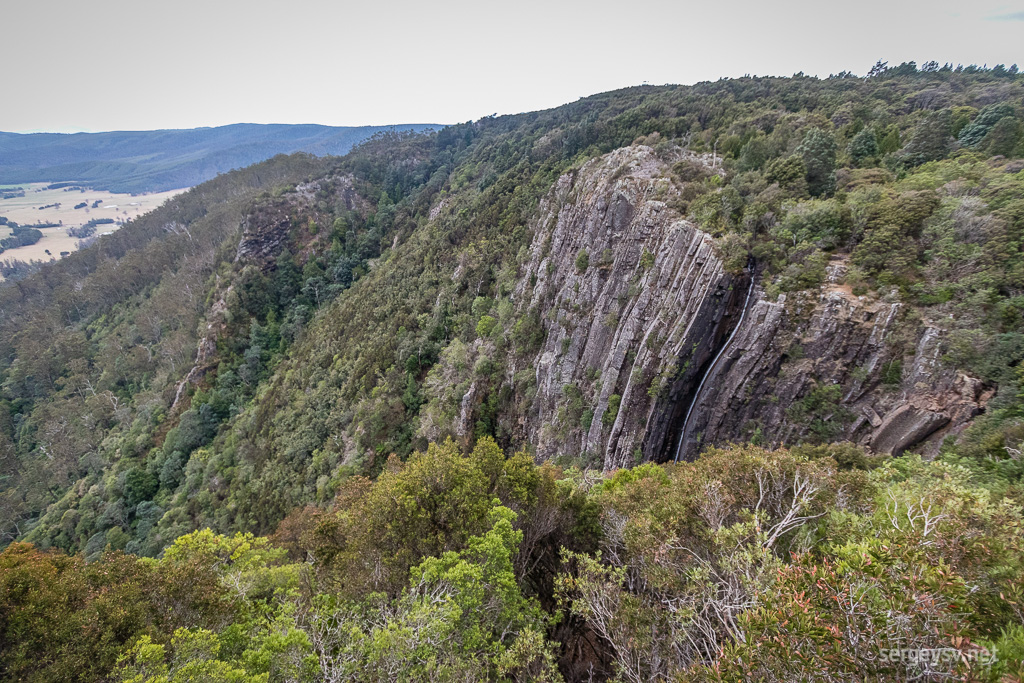 Ralph Falls.
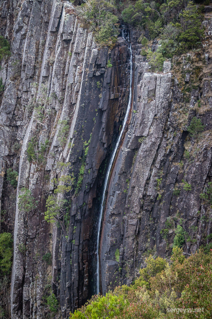 Up close.
Time to wrap up my sightseeing ventures for today, and I head back towards bitumen and into the town called Springfield. A picnic area a few kilometres away from it gives me a very lovely and isolated camping spot completely for free, even though I have to make a certain effort to find my way in.
Last day in Tasmania tomorrow.
 Distance covered: 355.2 km. The gap is where I forgot to switch my GPS tracker back on in time.
 The Wineglass Bay.
 Cool boulders on the way there and back.
 The Sleepy Bay.
 Pink rocks on the beach.
 At the Cape Tourville.
 The eponymous lighthouse.
 The Apsley Gorge walk.
 The beachside sheep.
 The Bay of Fires.
 Lichen-covered rocks.
 The weather is wonderful, too.
 Halls Falls.
 Ditto.
 The rocky creek.
 One of the cascades.
 St Columba Falls, from the distance.
 St Columba Falls, from below.
 Cashs Gorge.
 Barren-looking forest.
 How cool is this moss, though?
 Ralph Falls.
 Up close.