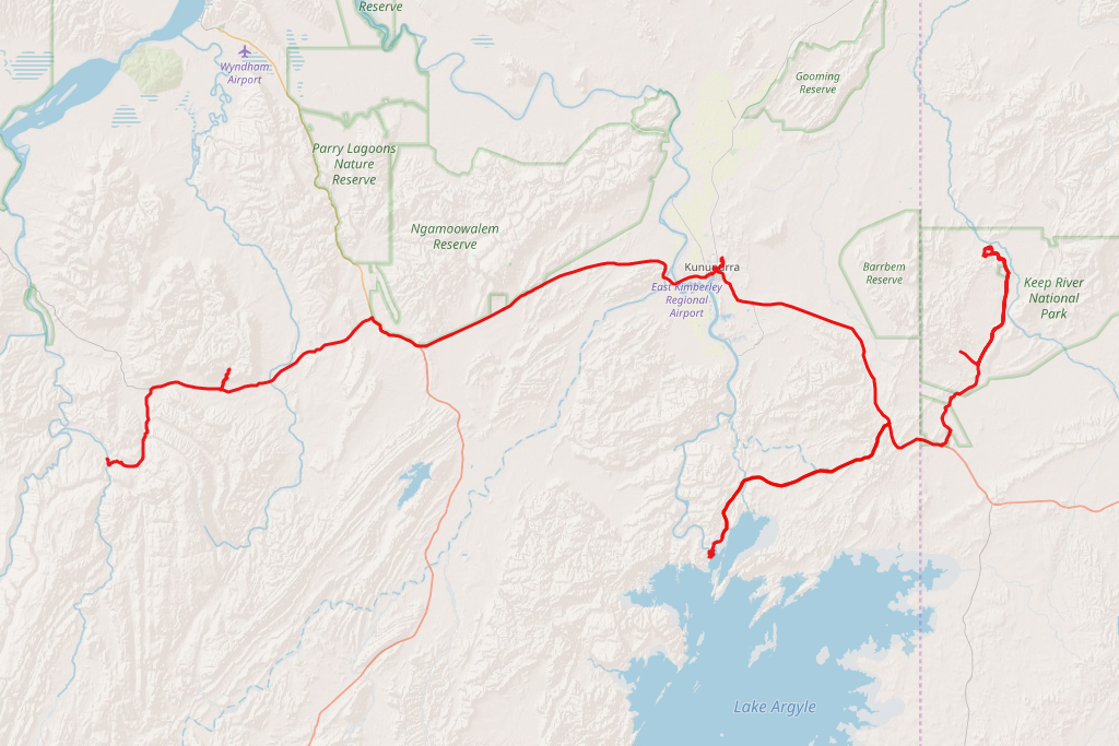
 Distance covered: 300 km
I start my day at 6 in the morning (NT time? WA time? Who knows?) to drive a little further into the park and take another scenic walk, called Jarnem. No one’s around at this early hour, except for a couple of tradies who do some maintenance work at the campground.
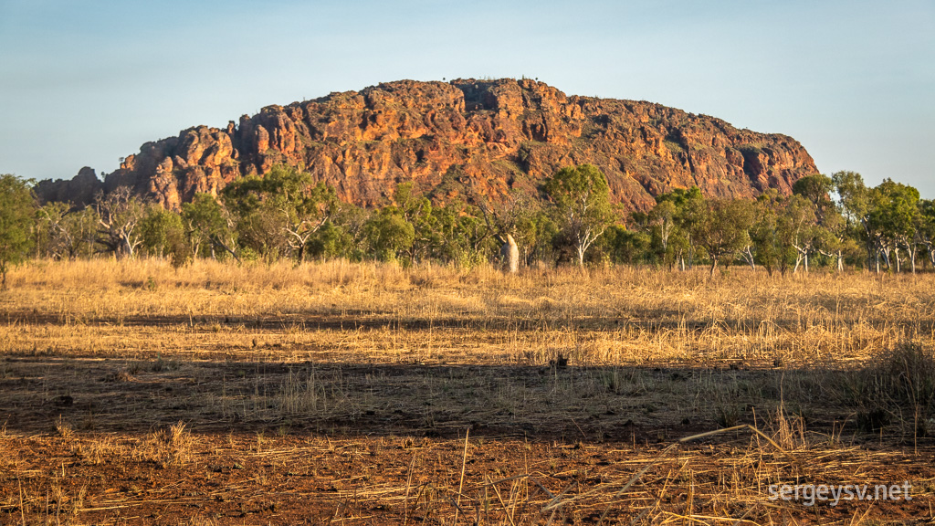 Keep River park awakens.
The walk is quite pretty, even if not as much so as the one I did yesterday. Still, it’s lovely to stroll across the beautiful Kimberley scenery—golden grass, boabs, and all—entirely on my own. Halfway through the hike there's a scenic lookout that gives me a view across the entire park and perhaps even a little bit of the neighbouring state. The sandstone cliffs further away from it feature some Aboriginal paintings, although I couldn’t find any (not that I was looking closely). The palm trees look quite interesting next to them, though.
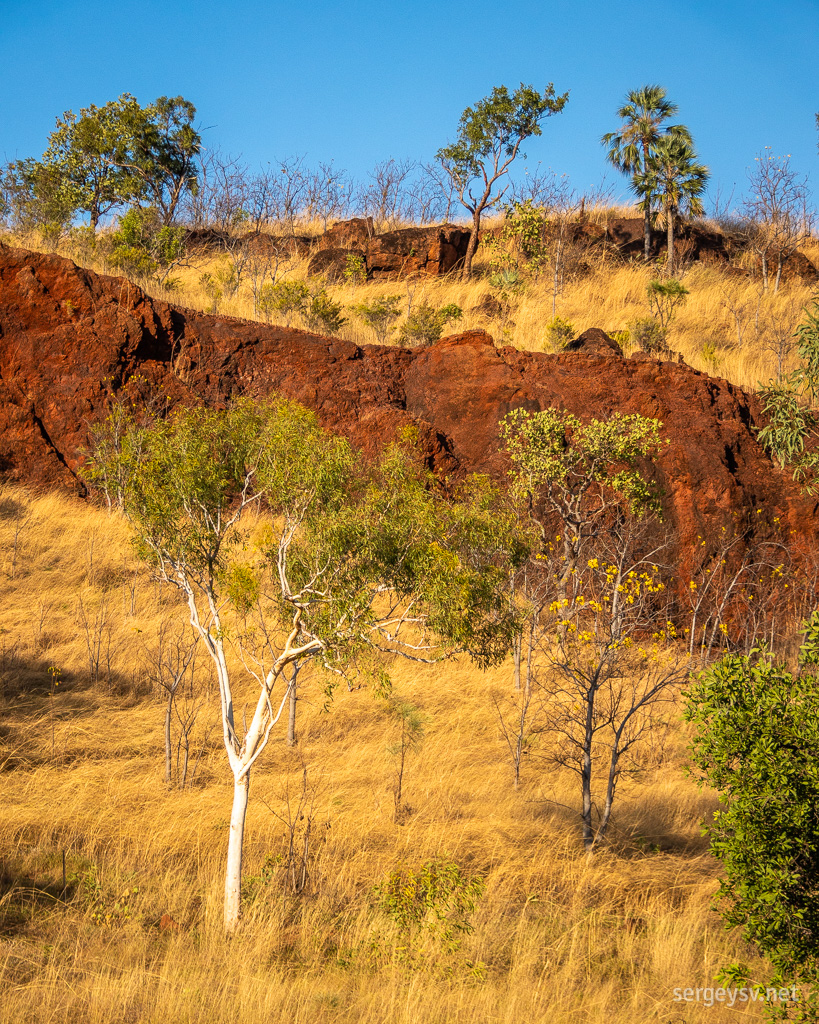 Ghost gums look very interesting next to these brown cliffs.
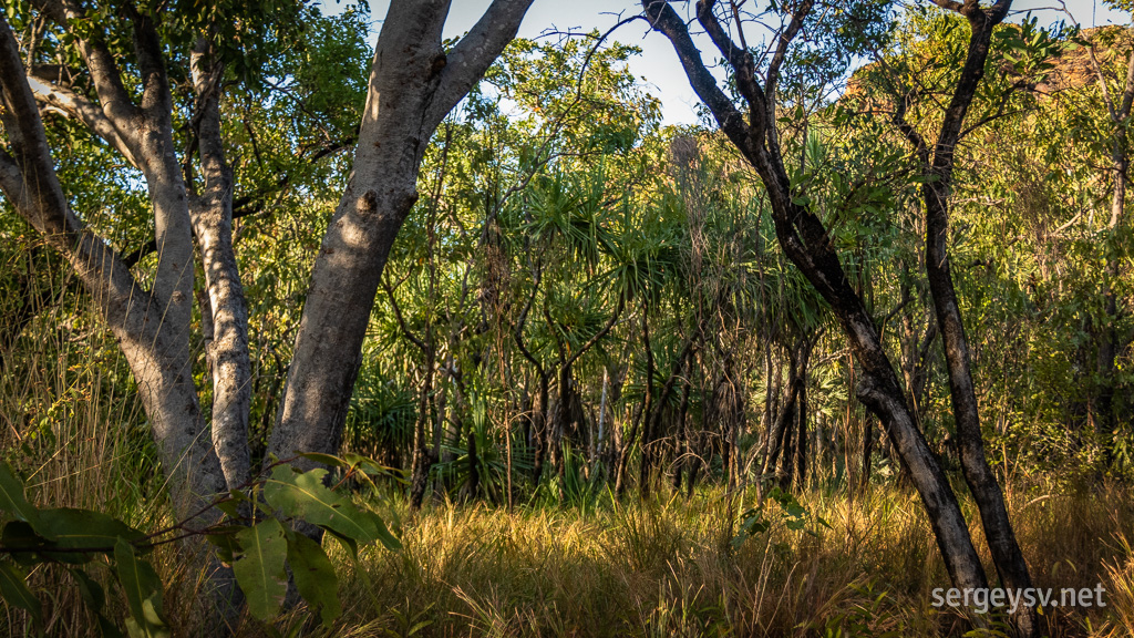 Tropical vegetation.
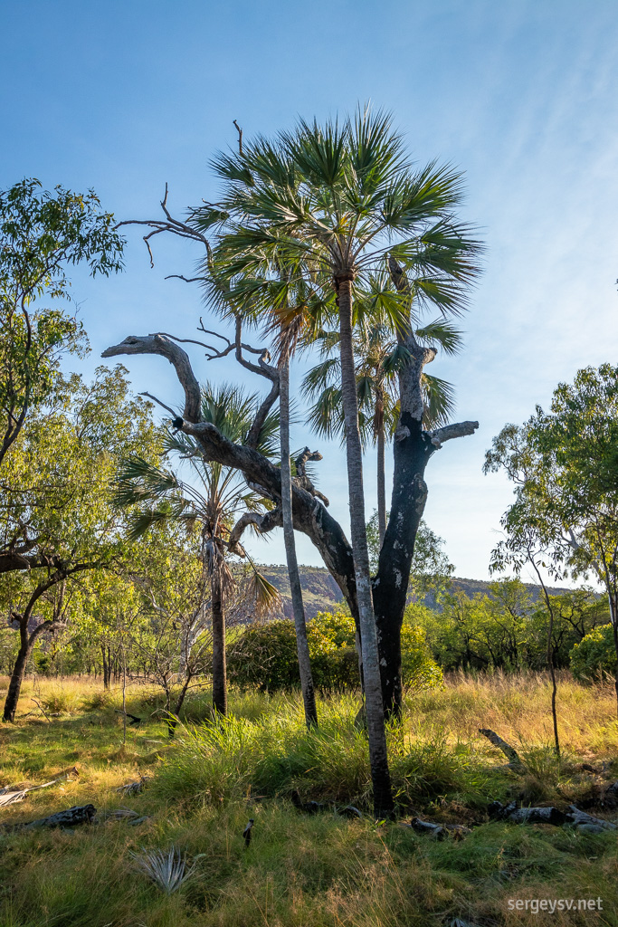 Interesting mix of various trees.
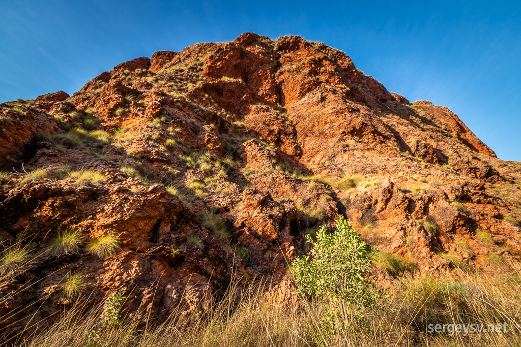 The lookout is at the top.
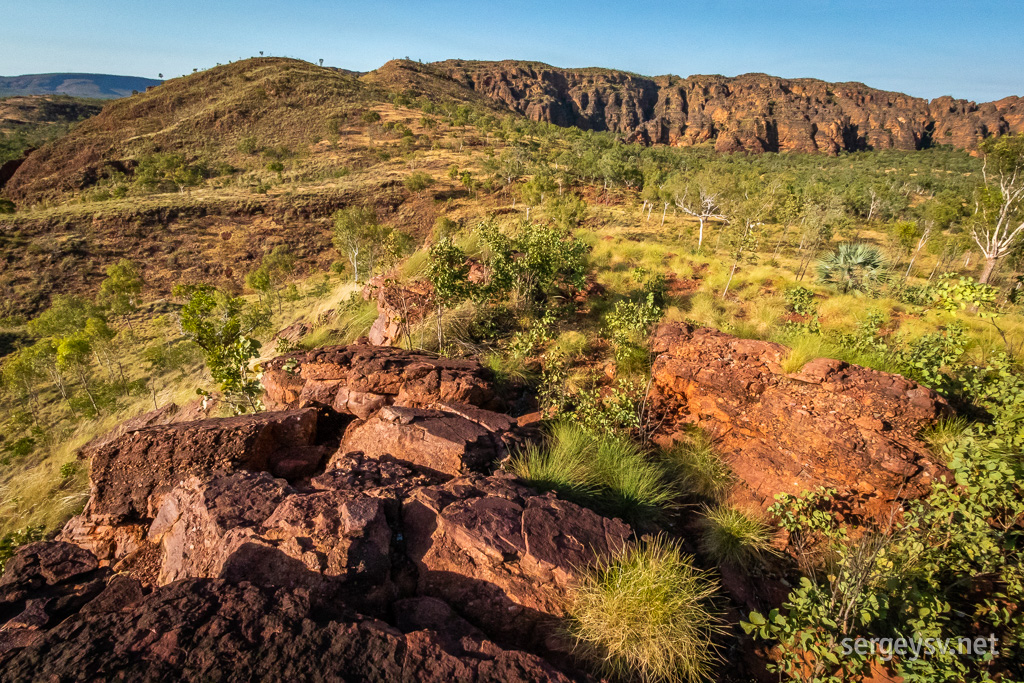 The view.
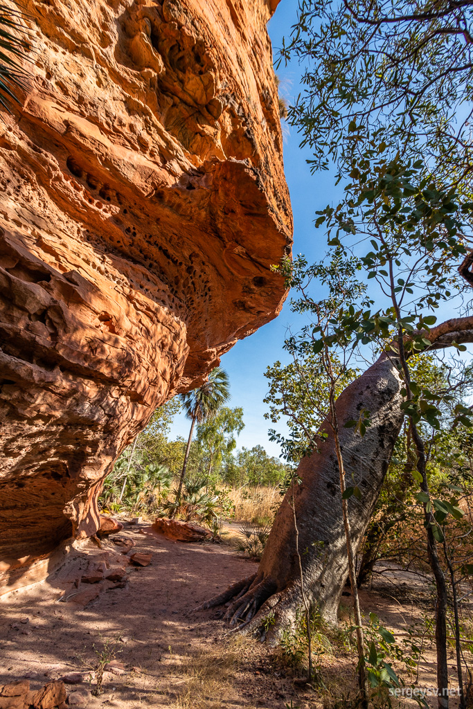 Right next to the cliffs.
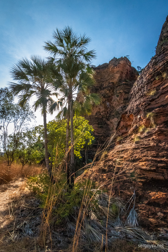 Palm trees look very pretty.
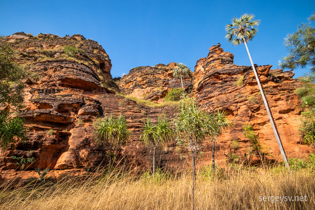 From every angle, basically.
By the time I get back to the campground, it’s about 10 a.m., and there’s three cars full of tourists parked there already. Looks I’ve finished hiking just in time! Time to move back to WA now; the Lake Argyle beckons.
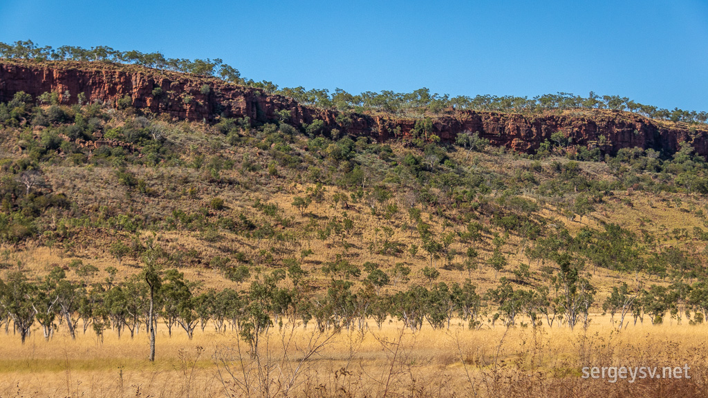 Driving back across the park.
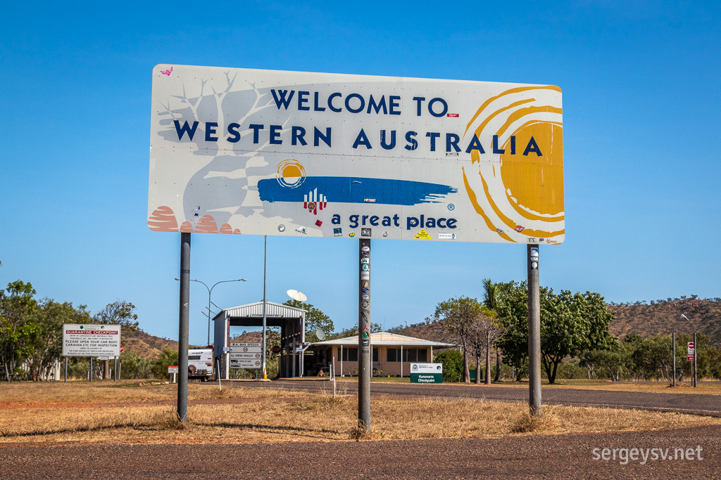 Hello again, WA!
A little town next to it is literally packed with caravans; the place appears to be very popular with this kind of crowd. The lake itself is entirely man-made; the whole area was flooded in the 70’s to improve the irrigation (which it did), and now it offers fishing, boat tours, and all other kinds of water-based activities.
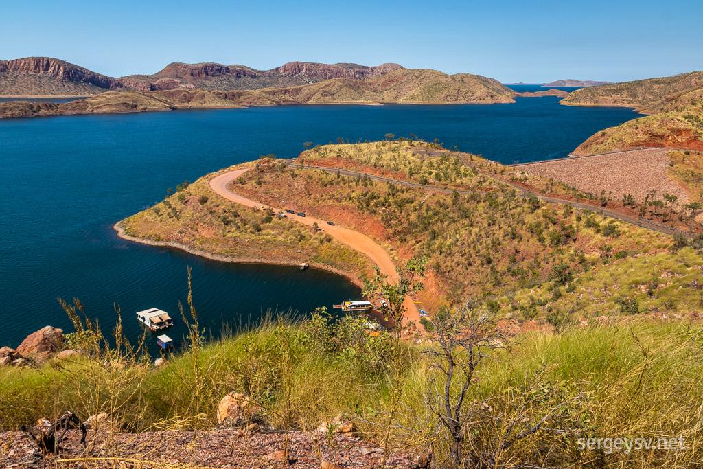 Looking over Lake Argyle.
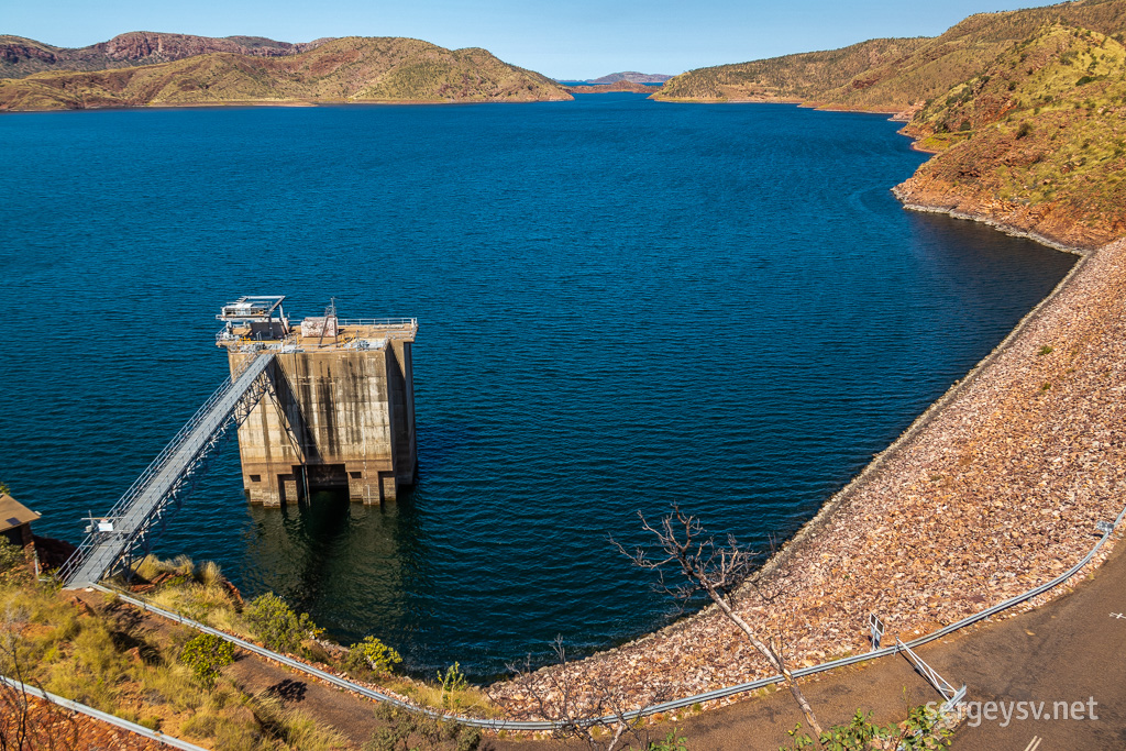 Some aquatic structures.
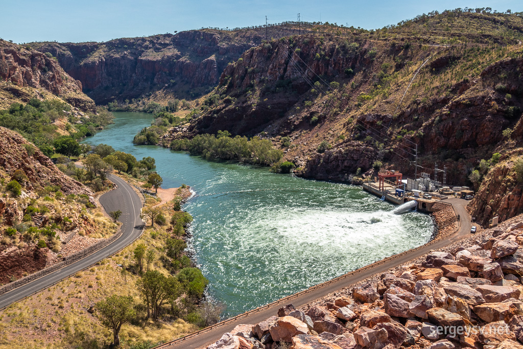 The water flow is pretty intense!
 Otherwise, it all looks quite peaceful.
Other than that, unfortunately, there’s not much to see here. I don’t have heaps of interest in boat tours either, so I quickly wrap it up in the Argyle and head back towards Kununurra.
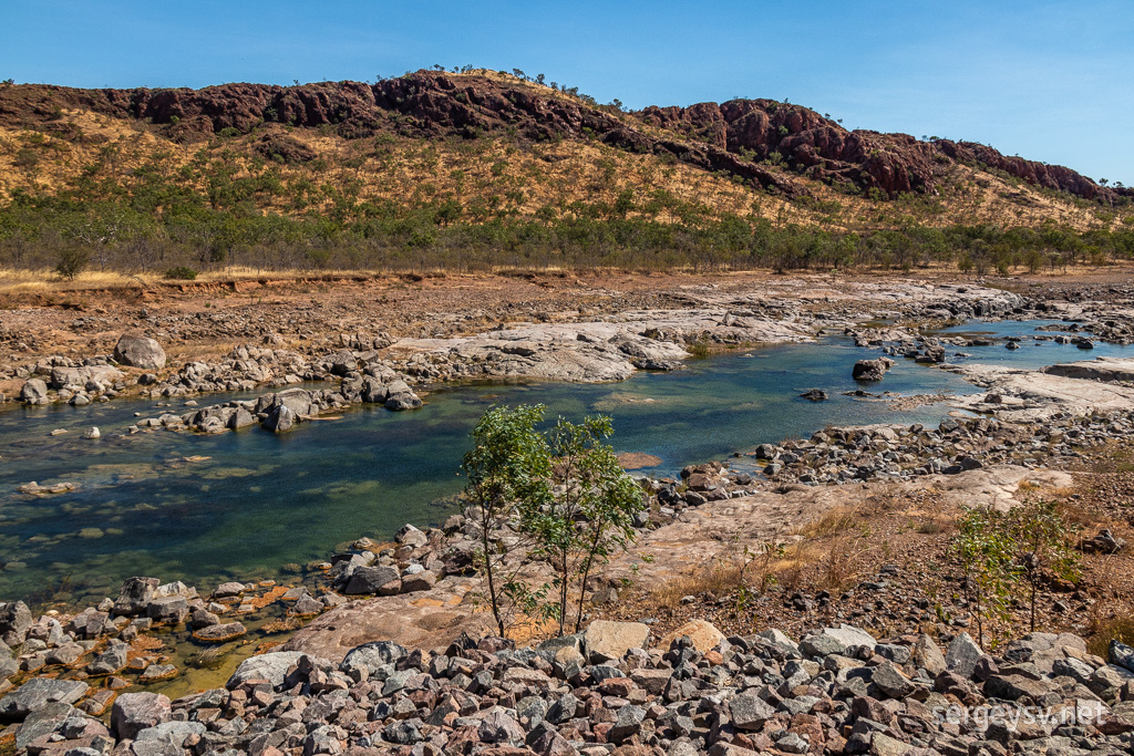 Heading back towards the highway and looking around.
Now here’s something for me to do: a small park called Mirima, which is right at the town itself and offers a few short walks amongst the sandstone cliffs. The cliffs look very pretty and remind me a lot of the majestic domes I’ve seen
at the Purnululu; my heart still belongs to the latter, though.
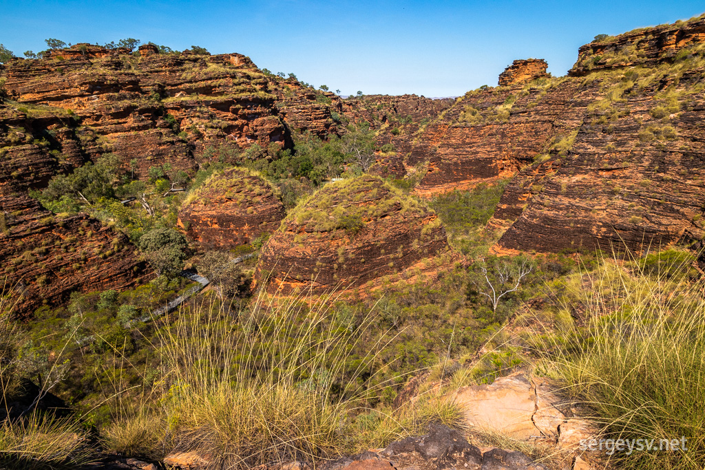 More stripey sandstone!
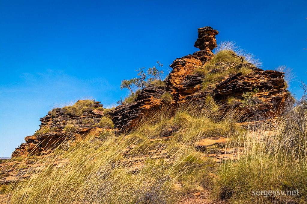 Never the same shape twice.
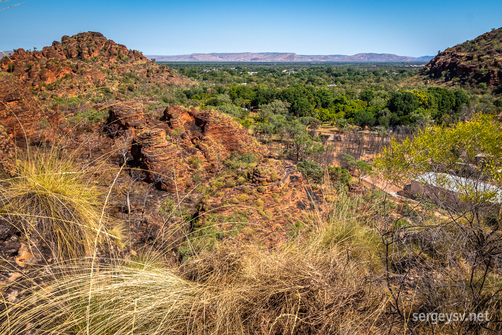 Looking over Kununurra.
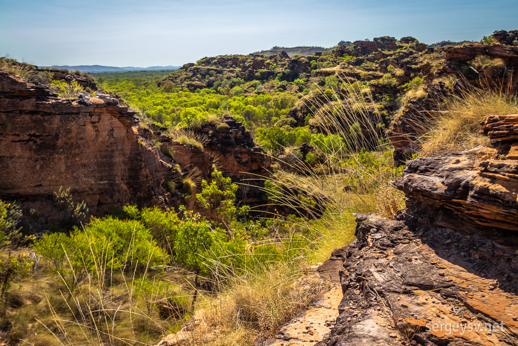 So much green amidst the red.
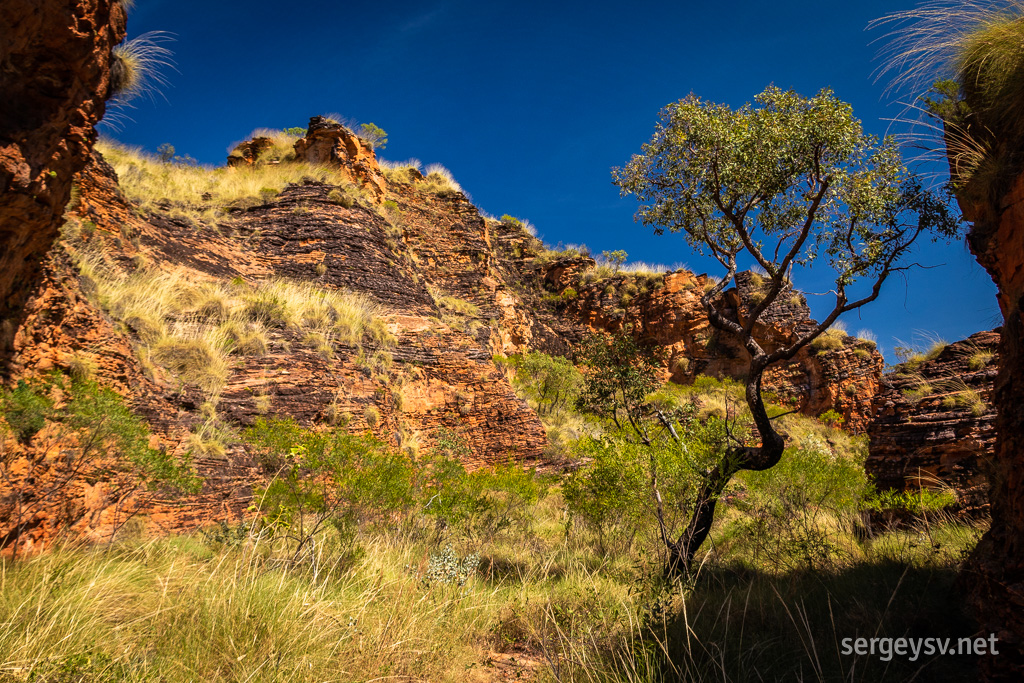 And so much blue on top of it.
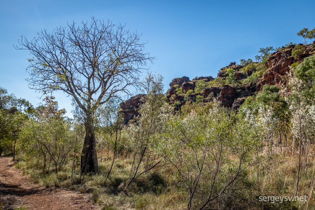 And, of course, boabs.
Kununurra is a small town, and I can see it all from one of the lookouts. Little do I know, however, that I’ll get to spend a little bit more time here than I originally planned! Be that as it may, I leave Kununurra at 1:45 after some shopping and refuelling. Time to hit the Gibb River Road now: my ultimate destination of the entire trip, really. And, sure enough, I reach it half an hour later.
This 650-km unsealed road runs through one of the most scenic regions of Australia, and it is flooded by rain during the Wet, and by tourists during the Dry. Hopefully it’s not too crowded right now, at the beginning of June. One thing that I know for sure is that I won’t get any mobile signal whatsoever until I reach the other end of the road – whenever that happens.
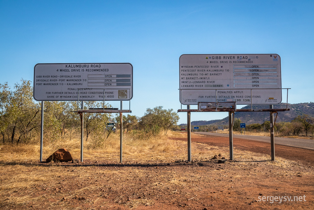 Entering the Gibb.
My first stop is at the Emma Gorge, which is managed by the neighbouring El Questro Station. The whole area looks like a luxurious tropical resort: huge parking lots, bungalows, information centre… and entry fees, of course. I get away without buying one for now, though, because I’m hitting El Questro tonight anyway, and the fees/permits cover both places. Let’s see what Emma Gorge has to offer me for free, then.
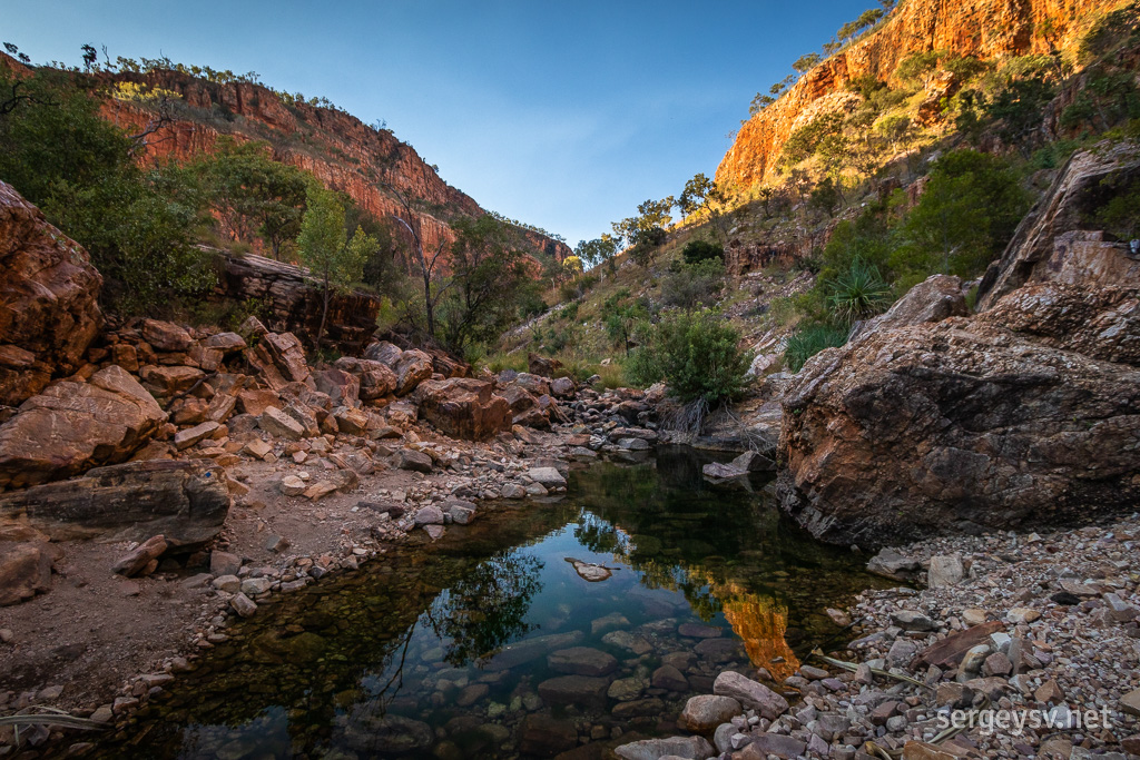 Entering the Emma Gorge.
The walk to the falls is not the easiest one, but very rewarding. The gorge is cool and shady at this hour, and the waterfall itself is beautiful, even if not too big right now, during the Dry. And, of course, the pool is full of tourists. Once again, the easier to access the destination (Gibb River Road is sealed until here), the more people will flock there.
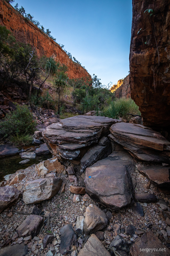 The path is very rocky!
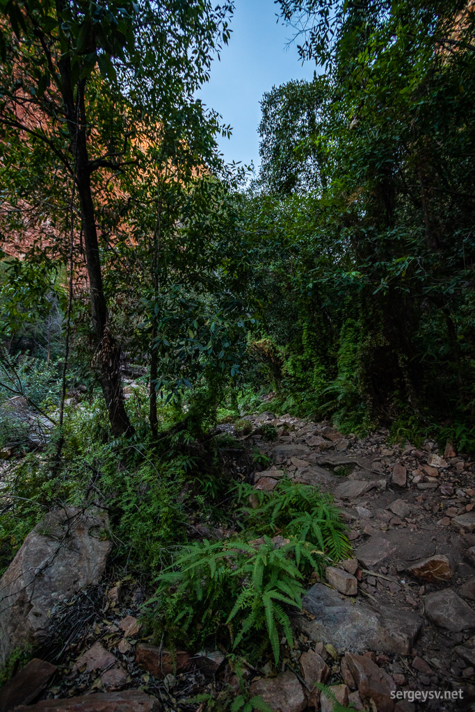 But very shady and cool.
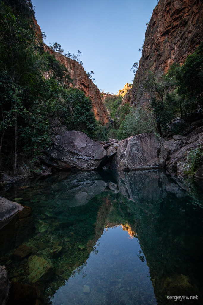 Lots of water, too.
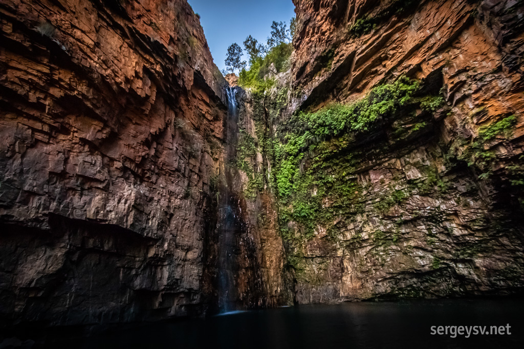 The pool at the end of the path.
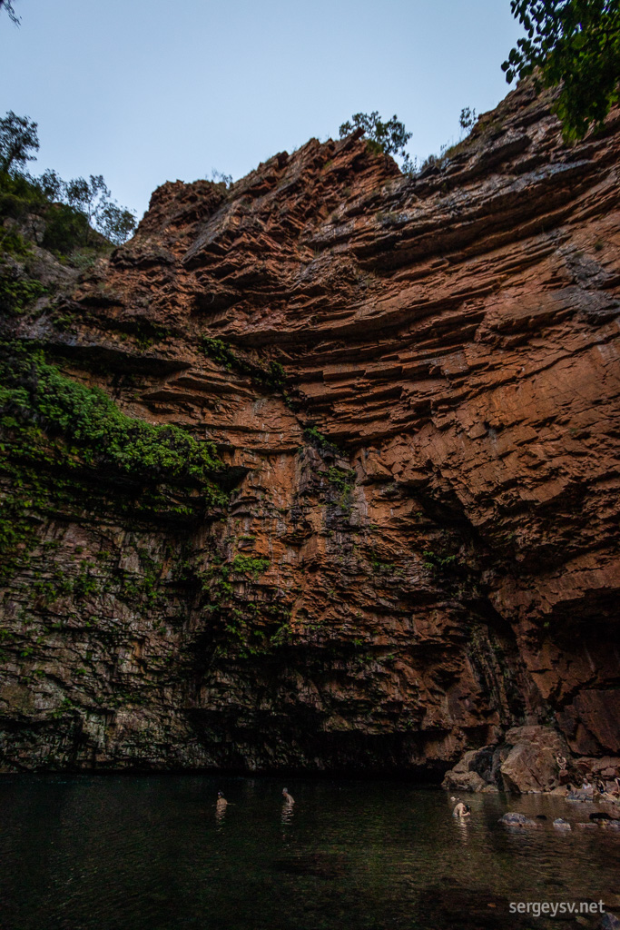 Along with all the swimmers.
And finally, an hour later, I reach the famous El Questro. This is a cattle station that dabbles in tourism, and is quite successful at that (once again, thanks to a very short and easy drive from Kununurra). Once you navigate a couple of (shallow) wet crossings, you reach a huge homestead with shower blocks (several of them), restaurant, bungalows and
a lot of people. The place is literally packed to the rafters: is it because it’s Friday, and people from all over the area congregate here, or simply because it’s the beginning of tourist season in the Kimberley? Who knows.
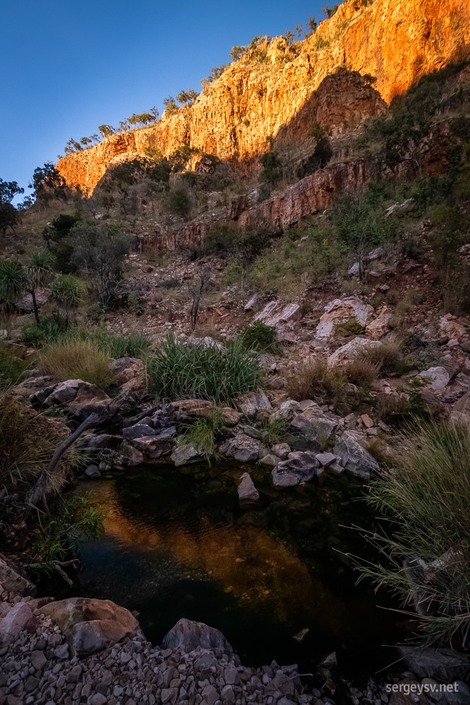 The red cliffs of the Kimberley.
The place also functions as a nature park of sorts, and in addition to the nightly fee ($20) you have to purchase a park pass as well. Given that it’s been a very busy week for me, I decide to extend my stay here for two nights, and take a leisurely rest tomorrow.
 Distance covered: 300 km
 Keep River park awakens.
 Ghost gums look very interesting next to these brown cliffs.
 Tropical vegetation.
 Interesting mix of various trees.
 The lookout is at the top.
 The view.
 Right next to the cliffs.
 Palm trees look very pretty.
 From every angle, basically.
 Driving back across the park.
 Hello again, WA!
 Looking over Lake Argyle.
 Some aquatic structures.
 The water flow is pretty intense!
 Otherwise, it all looks quite peaceful.
 Heading back towards the highway and looking around.
 More stripey sandstone!
 Never the same shape twice.
 Looking over Kununurra.
 So much green amidst the red.
 And so much blue on top of it.
 And, of course, boabs.
 Entering the Gibb.
 Entering the Emma Gorge.
 The path is very rocky!
 But very shady and cool.
 Lots of water, too.
 The pool at the end of the path.
 Along with all the swimmers.
 The red cliffs of the Kimberley.