Scenic flights above Lake Eyre begin at 7 a.m. (the ones that start from Marree, anyway; there's a whole lot of other locations), and you're supposed to be there at quarter to. I arrive slightly earlier than that, and whilst waiting for the pilot and four other passengers I quietly observe a rather lovely sunrise that unfolds above the airfield.
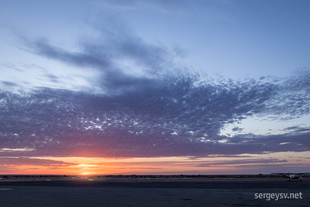 The sun rises.
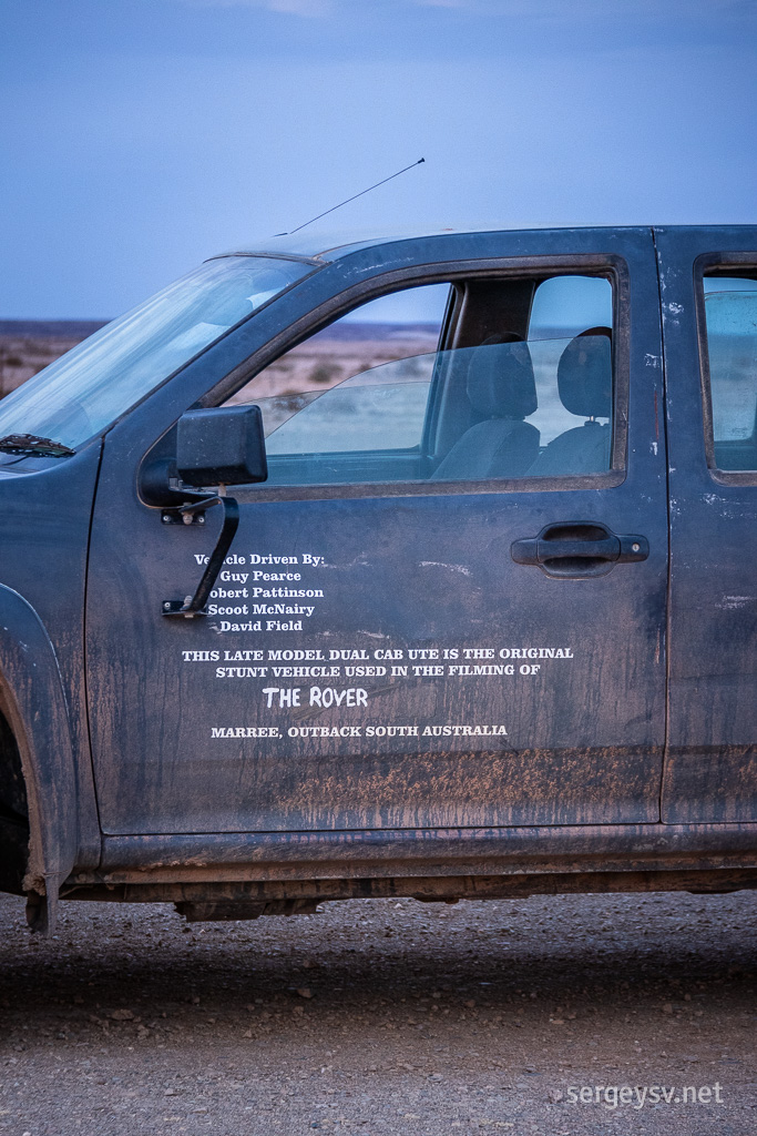 The pilot's car. Something to brag about, I guess.
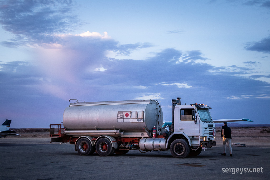 There he is! Refuelling the plane.
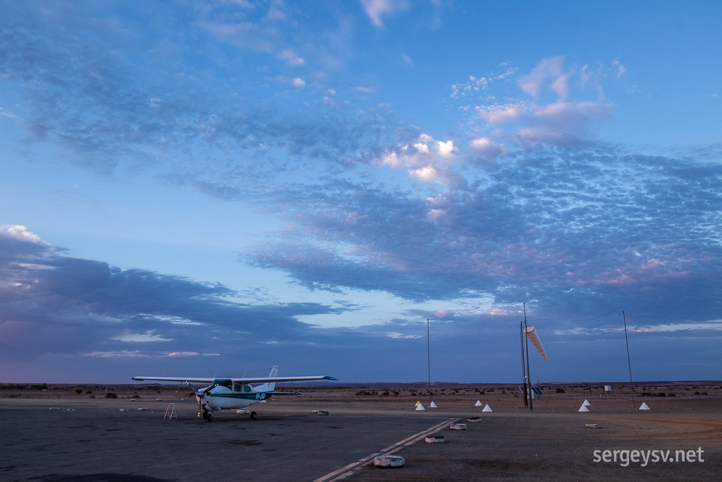 And here's the plane itself.
Everybody arrives on time, but there appears to be some sort of a clerical error: looks like a few people paid for and arrived to a two-hour flight, whereas this one only lasts an hour and a half, and the pilot was not notified. After some consideration and asking around, the pilot simply makes it two hours for everyone, which is totally fine by me.
Once that's out of the way, we all pack inside a small Cessna: me and a tiny Brazilian lady at the back, two bigger guys in front of us, and the pilot and the other woman in front. Time to go!
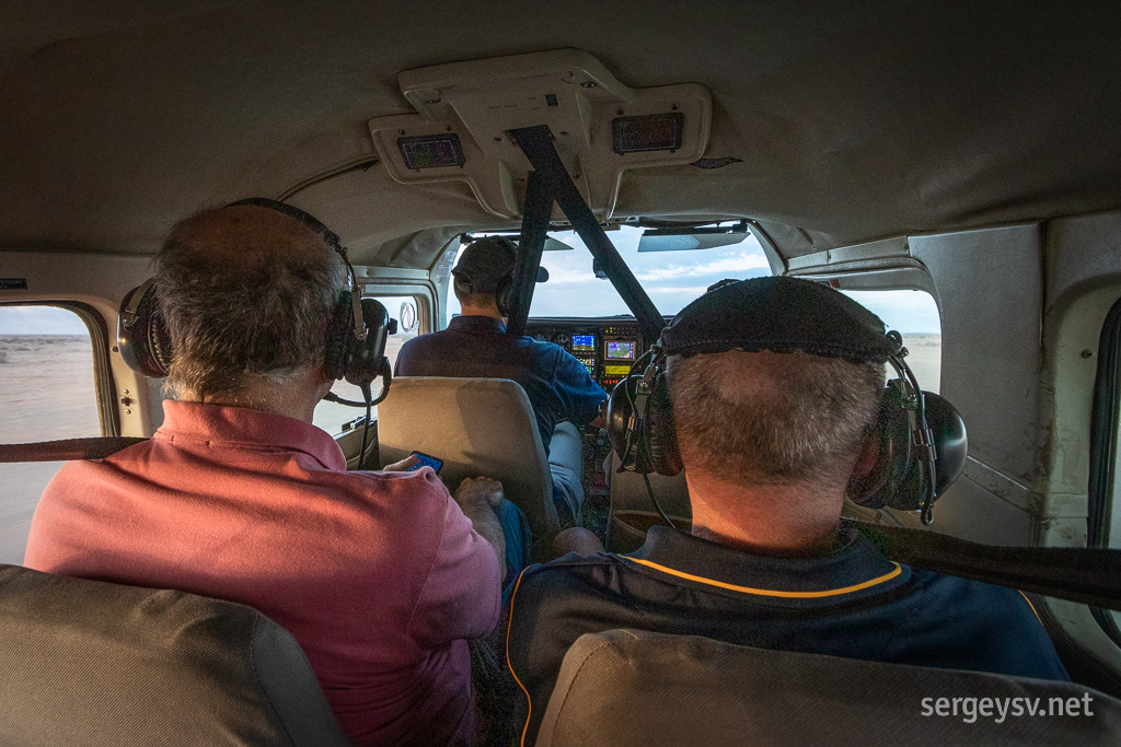 We're in!
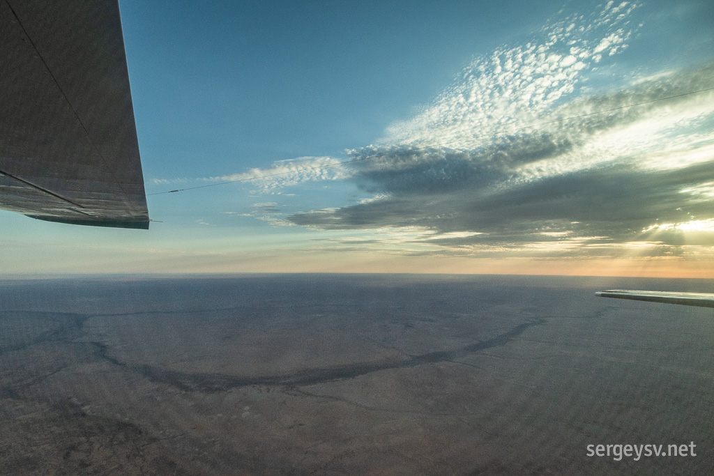 On the wing and a prayer.
During the flight we're all wearing huge headphones. The purpose is twofold: they muffle the engine noise, and they enable us to hear the pilot's commentary about the different places we're flying over. One of the first is the so-called
Marree Man: a very prominent figure of a guy with a very prominent nose and with an even more prominent penis, all of them carved into the ground and stretching nearly three kilometres across. No one knows for sure who made it, but I strongly suspect the military people from Woomera, because 1) they have the necessary machinery and GPS equipment, and 2) this sounds exactly what a group of bored soldiers would do.
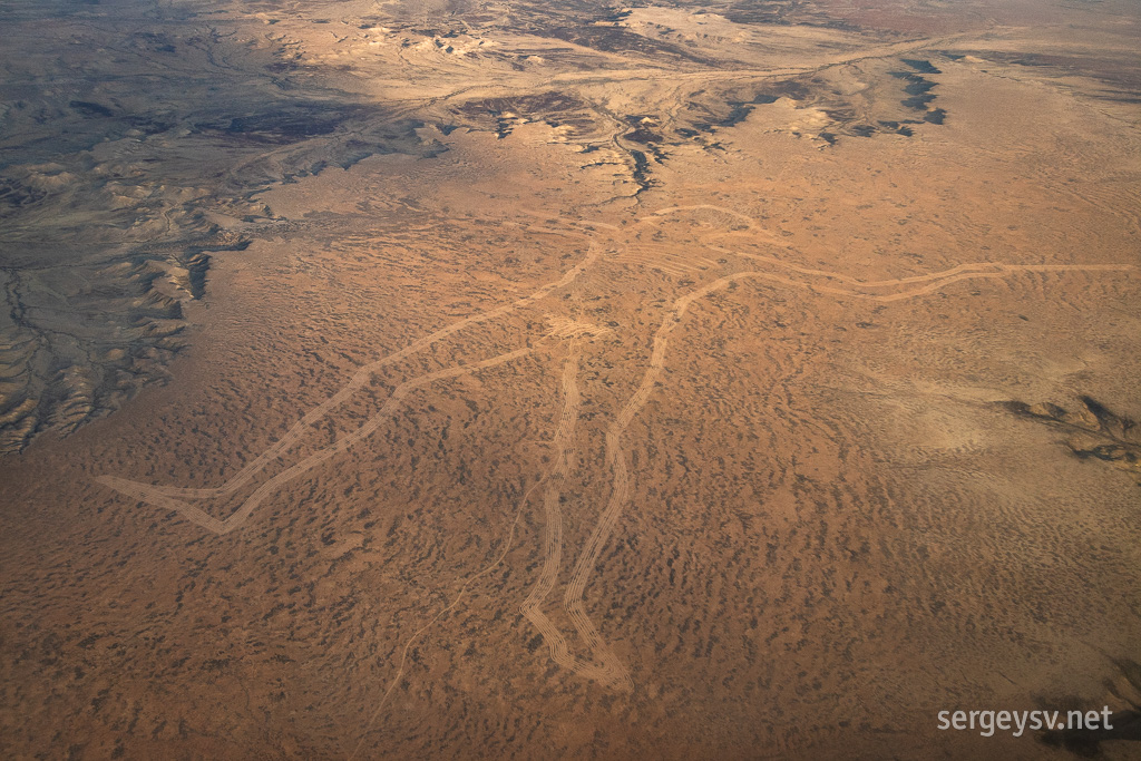 The Marree Man.
Soon enough we reach the Eyre itself, which is the biggest (and mostly waterless) lake in Australia and also the lowest point of the continent. Two areas in particular—Jackboot Bay and Belt Bay—are the deepest, and which is where the water is present right now, having made all this way from the floods in Queensland that happened many months ago.
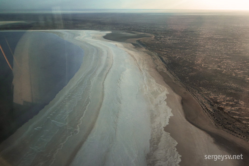 Entering the waters of Jackboot Bay.
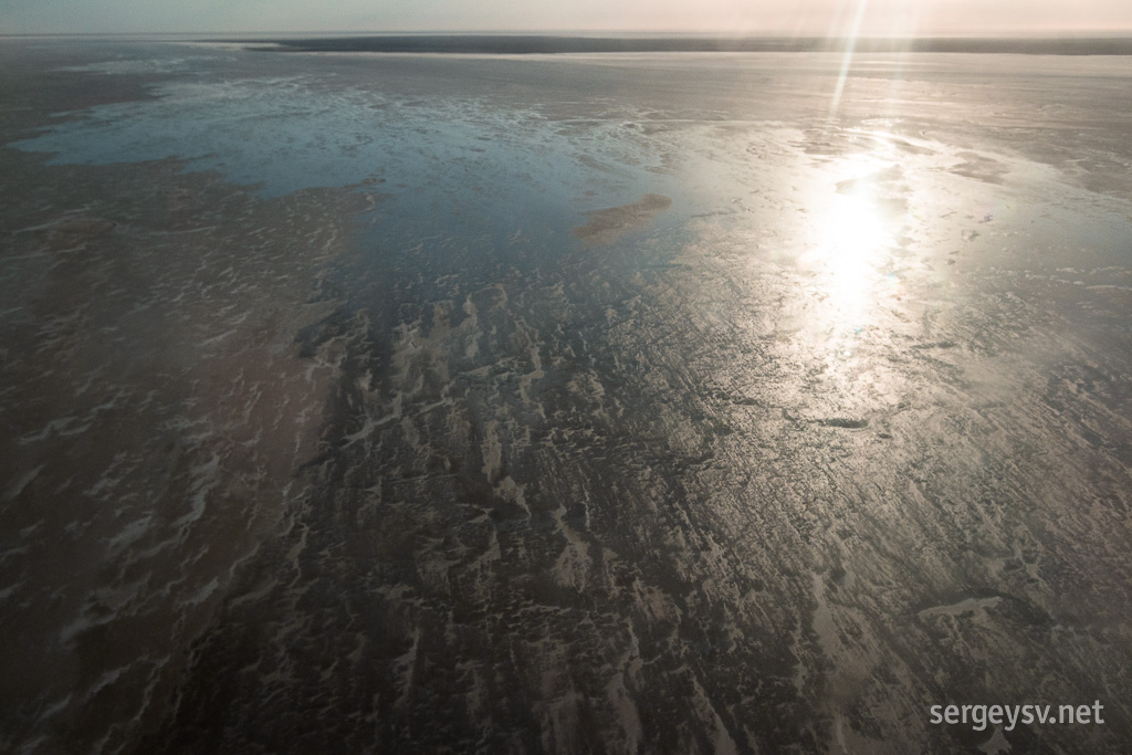 Water disappears quickly.
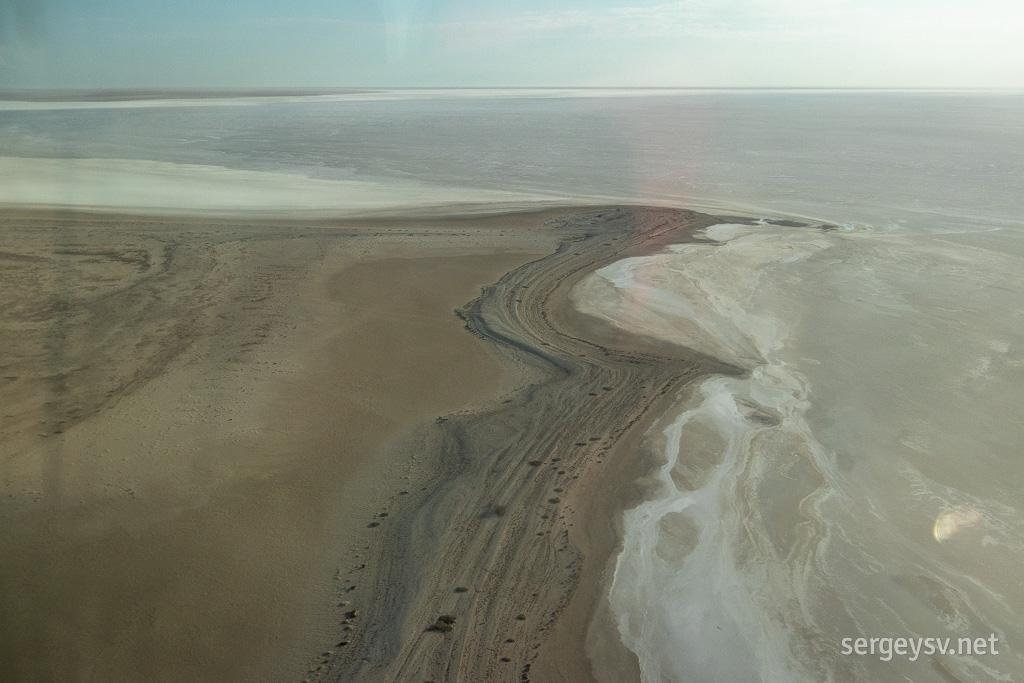 A salty peninsula.
I have been here
last year, and it's very interesting to see the place full of water (well, partially) and from the bird's eye point of view. Speaking of birds: there's quite a few of them here right now, and even emus come around to have a sip of salty water. And speaking of salt: the pilot says that during high winds a lot of salt gets blown off the surface of the lake and carried upwards into the sky, obstructing the view; and, indeed, we see a glistening white haze here and there, along with some gusts blowing directly beneath us.
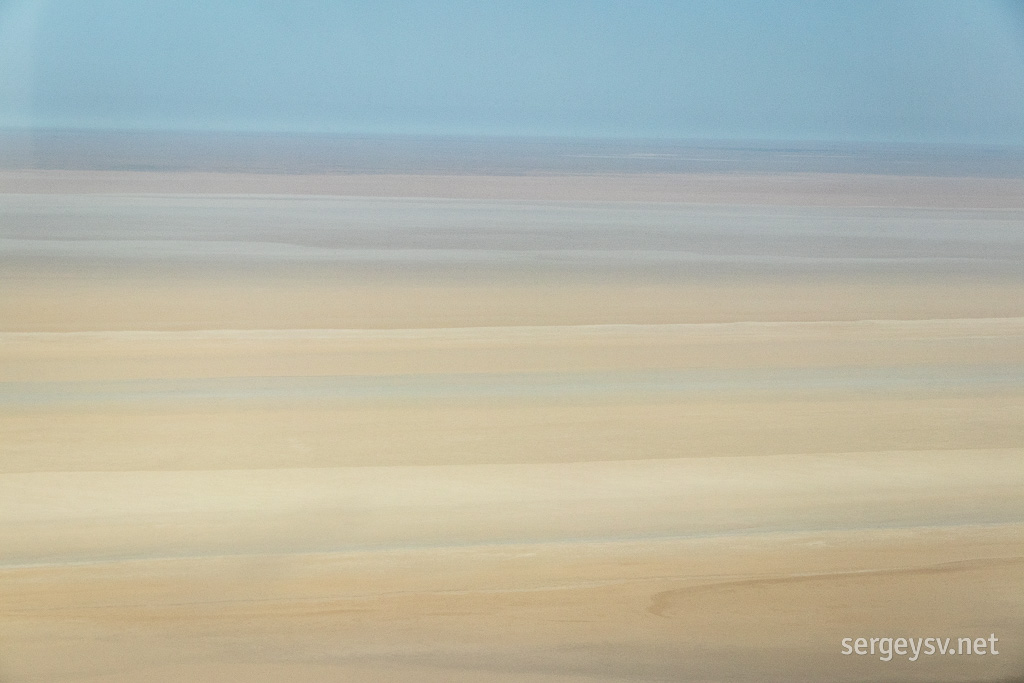 The pastel colours of Lake Eyre.
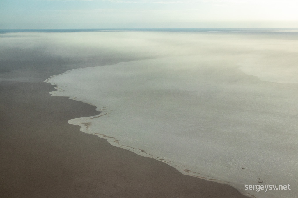 The salt and the distant salty haze.
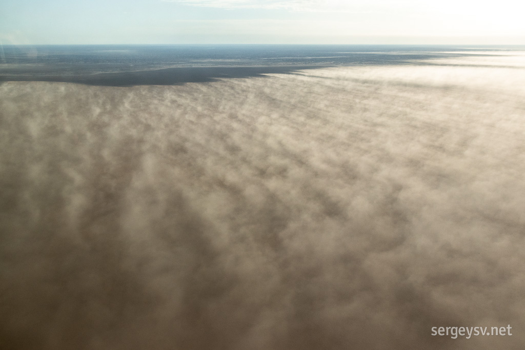 Salty winds are blowing.
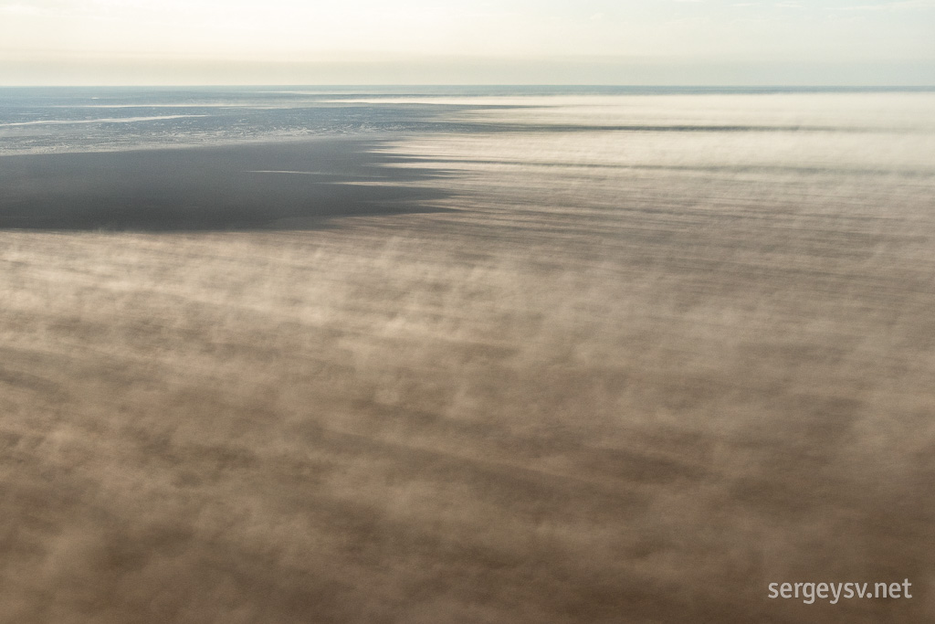 Same.
Same.
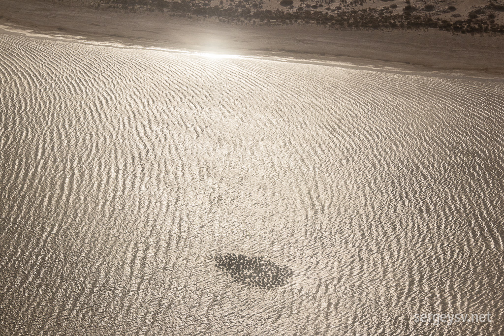 A flock of pelicans.
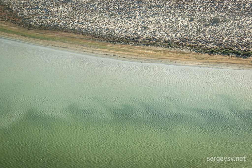 So many patterns.
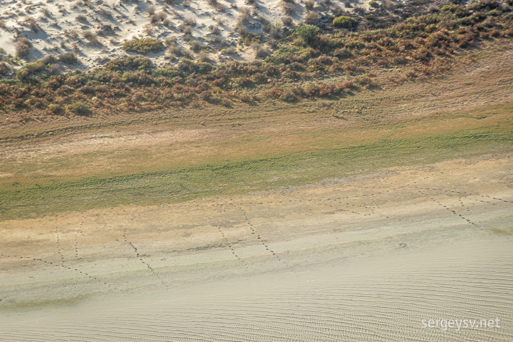 Emu tracks.
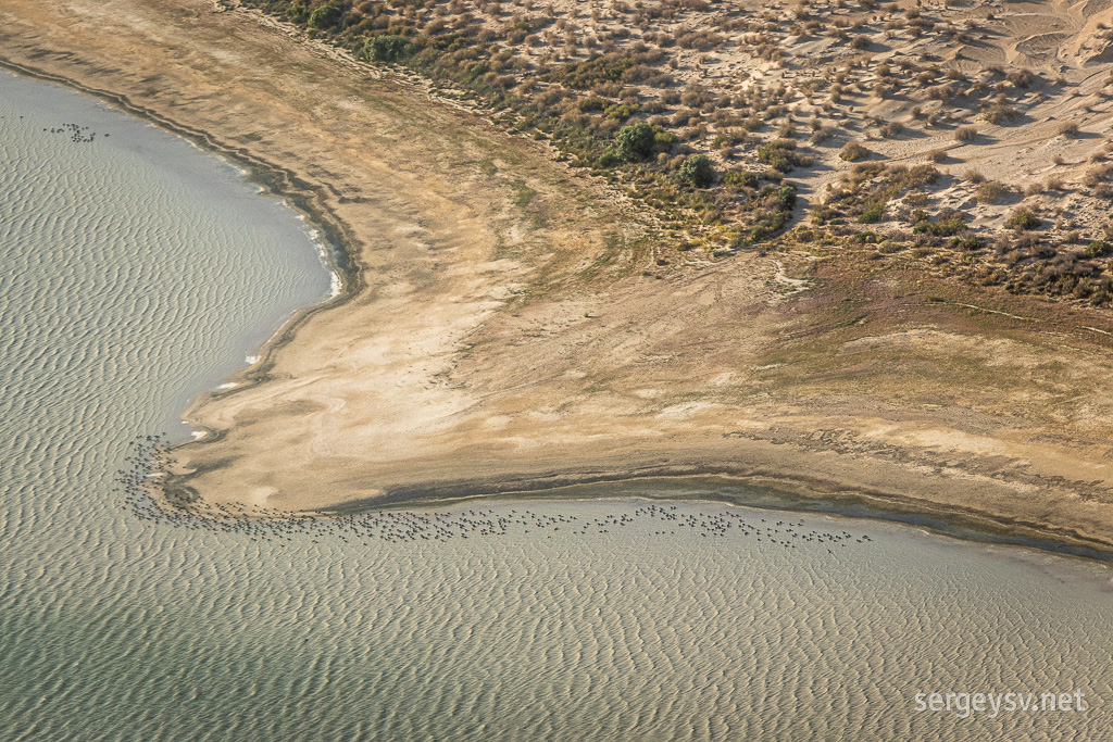 More birds!
There's a number of large creeks that feed the lake; some are full of water, some are dry. We visit them all, and this is when the flight gets a little bit bumpy. I'm not afraid of flying and I don't have motion sickness, but even I felt a bit queasy at times. Having a camera in my hands and choosing angles and shots helps quite a bit with that, surprisingly.
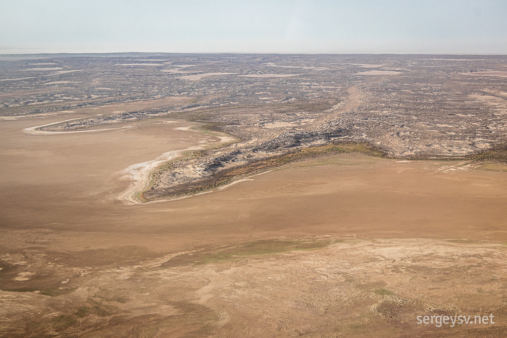 This creek bed is dry...
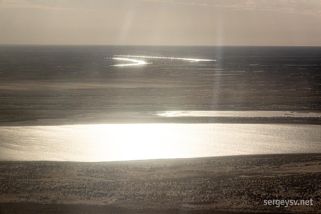 ...and this isn't!
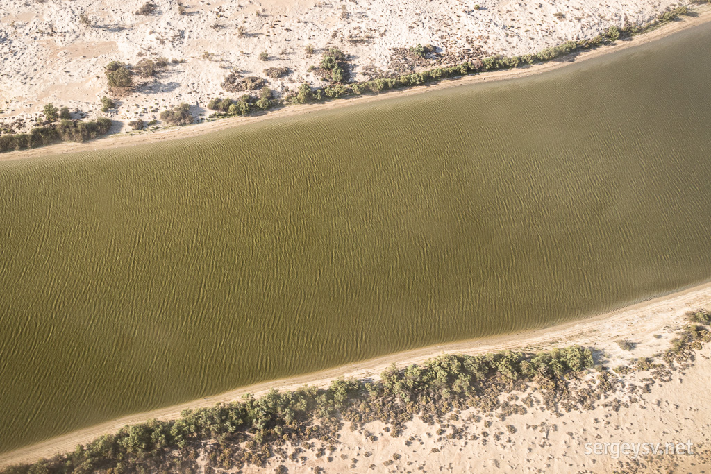 See for yourself!
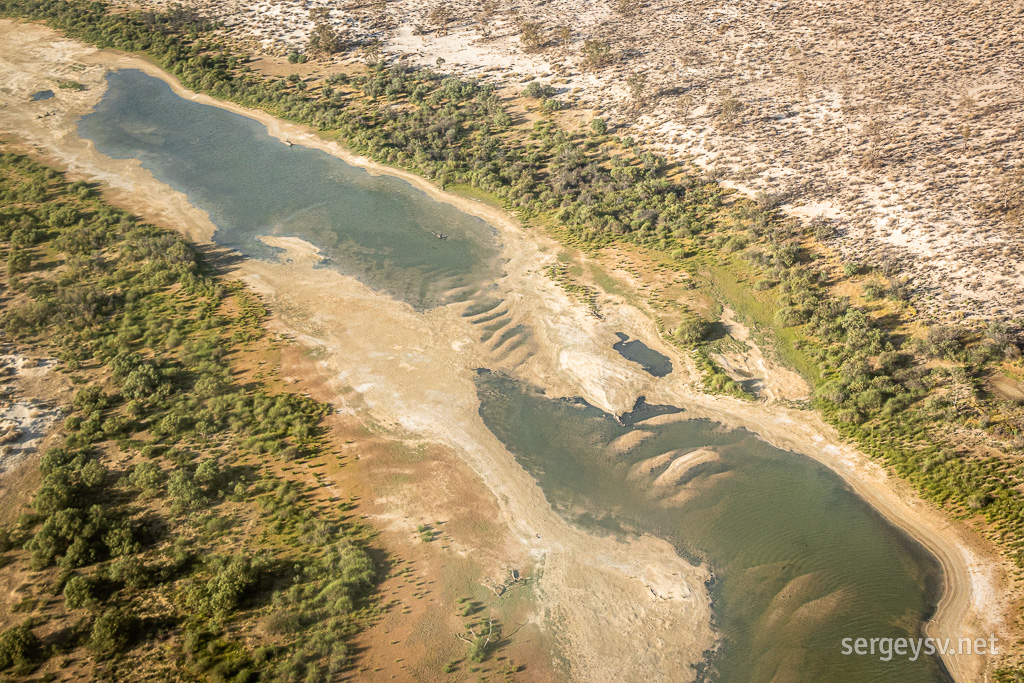 Where there's water, there's green.
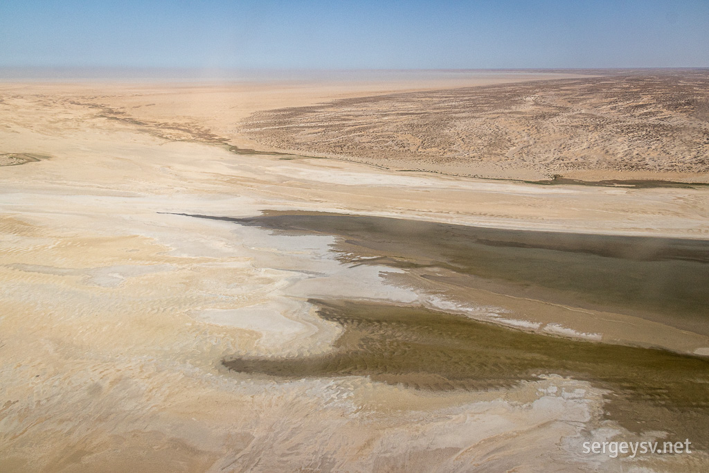 And water ends here.
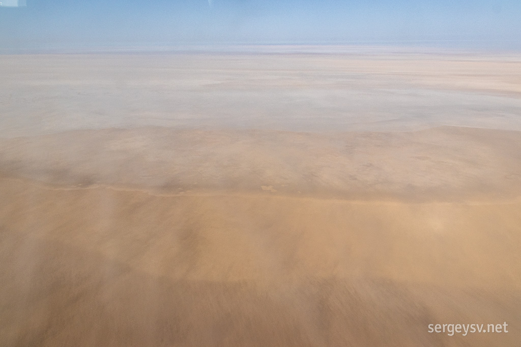 More salty winds.
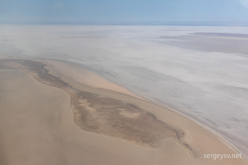 Across the Madigan Gulf.
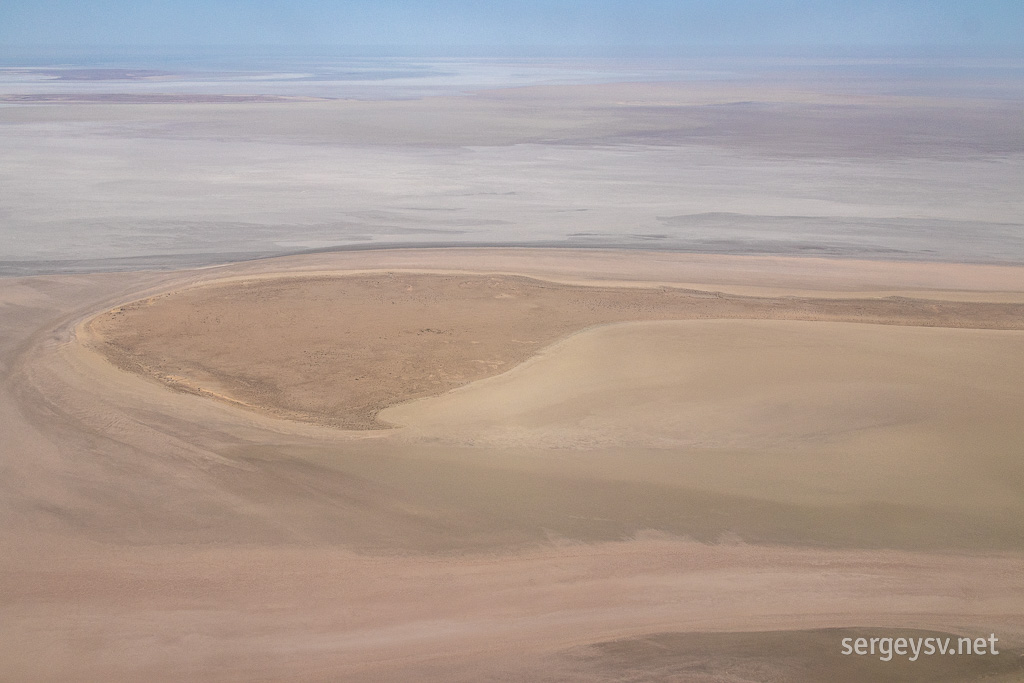 More pastel colours.
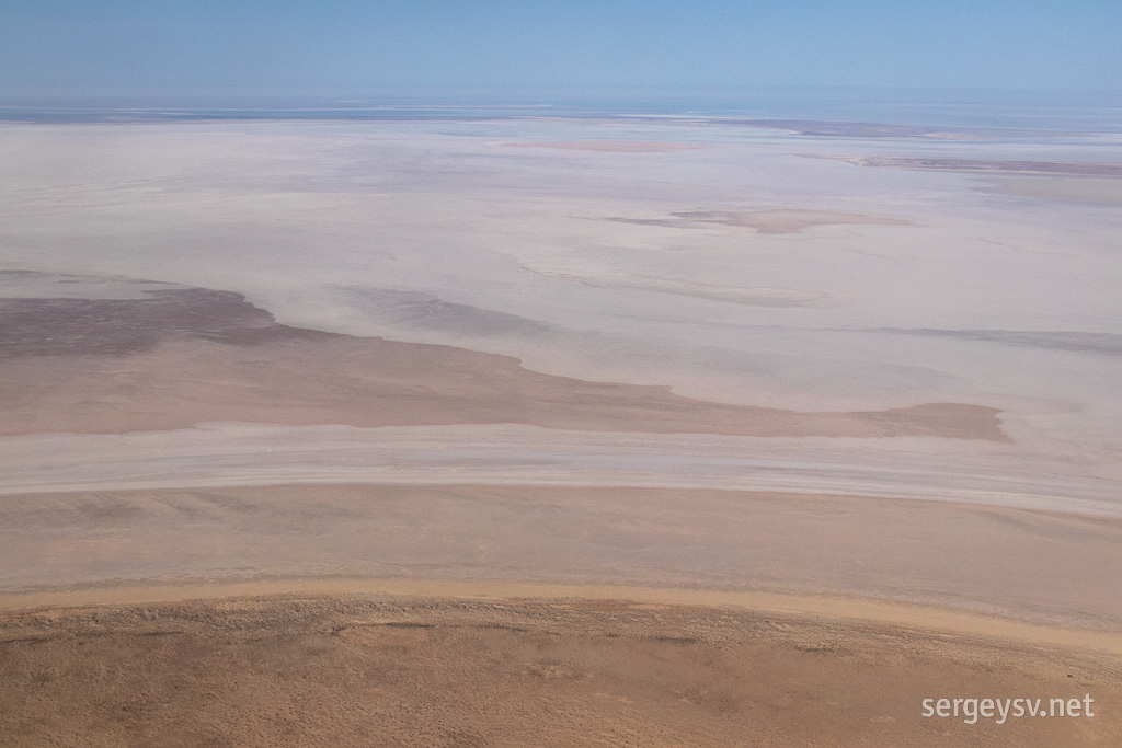 Doesn't look a lot like Earth, does it?
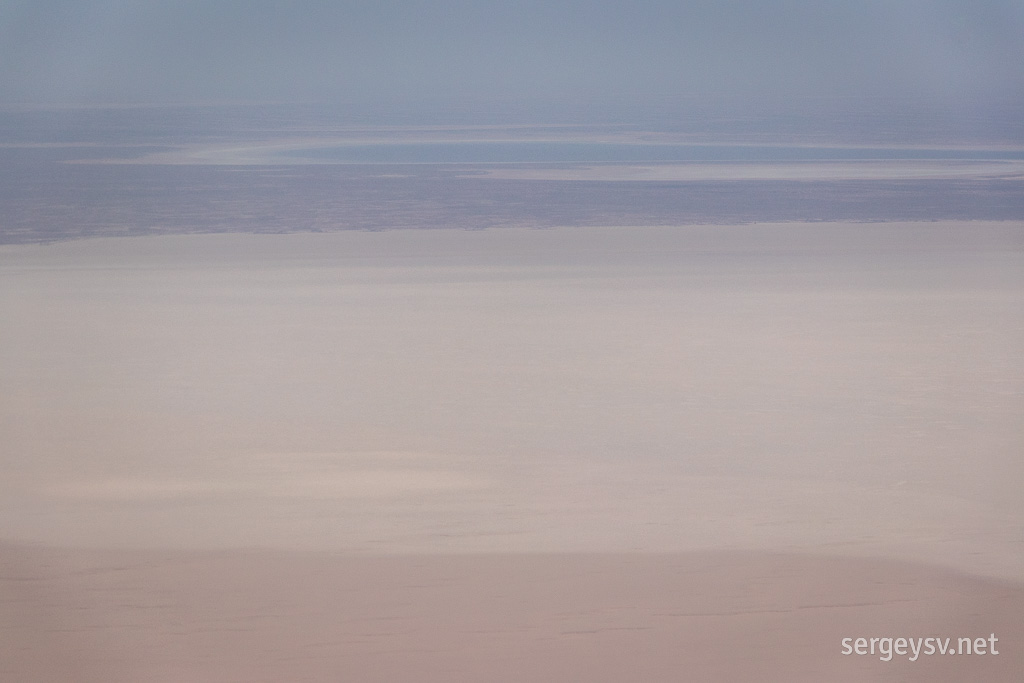 Belt Bay in the far distance (with some water in it).
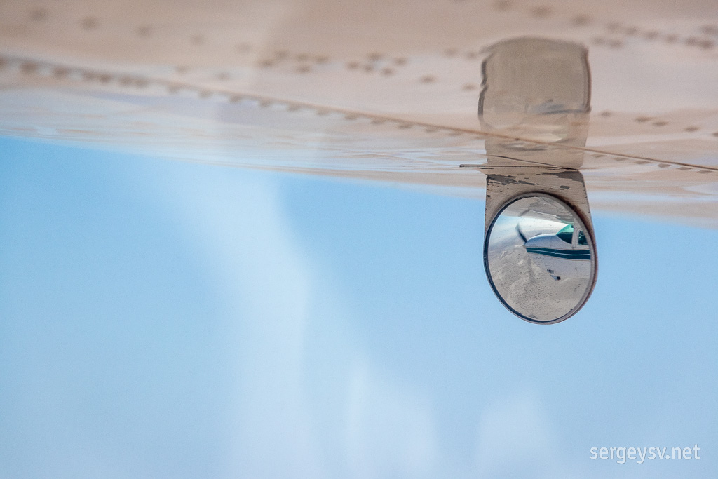 The feel of the flight.
Presently we turn around and across the Madigan Gulf (still dry) slowly make our way back to Marree, admiring the ever-changing colours below and listening to the ever-cheerful pilot. To be honest, by then I'm quite ready to finish the flight: the views are amazing, but the air bumps and the heat and especially the massive headphones that I have to wear caused me quite a bit of discomfort.
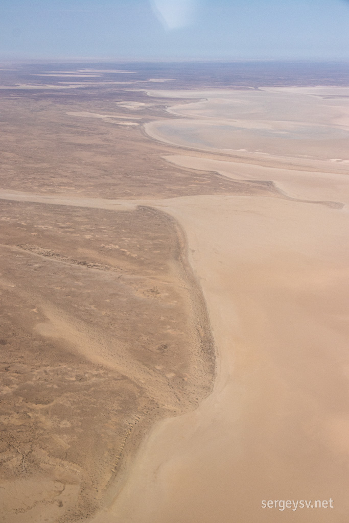 Time to go back.
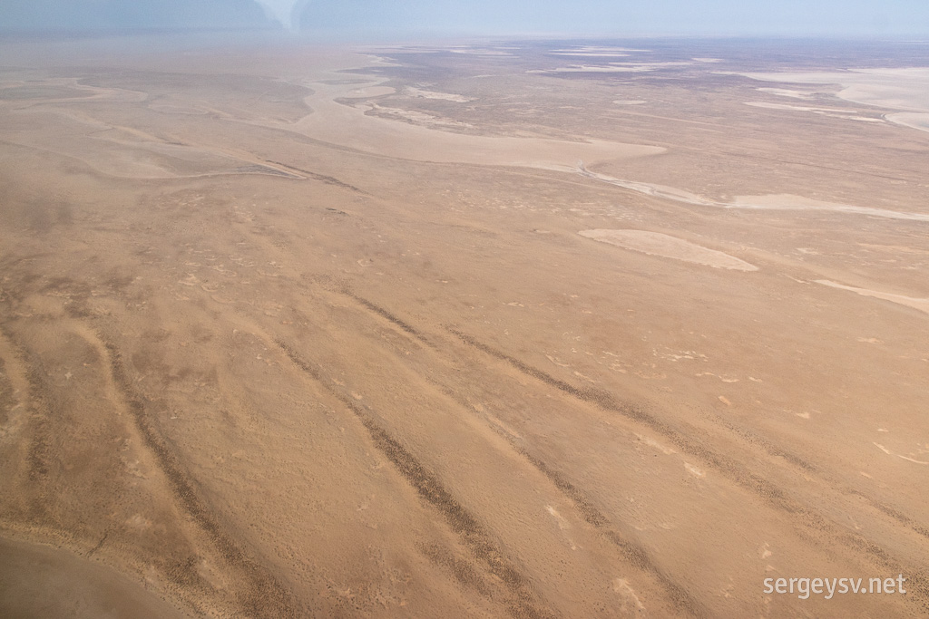 The endless ochre.
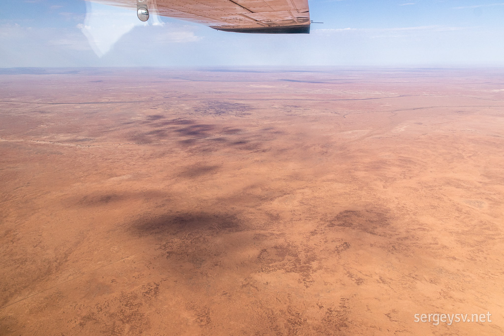 Approaching Marree.
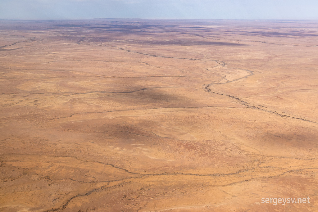 The network of the creeks.
And finally we're back on the ground! I'm not sure if it was entirely worth $440 that I paid for it, but it certainly was an interesting experience. Who knows when I'll ever make my way back to this region! I jump in the car and begin my long journey back to Port Augusta, because I have no reason to stay in Marree anymore... but on my way there I stumble upon a rather unexpected and very beautiful sight. You want to know what it was? Well then, stay tuned, and I'll tell you soon enough!
 The sun rises.
 The pilot's car. Something to brag about, I guess.
 There he is! Refuelling the plane.
 And here's the plane itself.
 We're in!
 On the wing and a prayer.
 The Marree Man.
 Entering the waters of Jackboot Bay.
 Water disappears quickly.
 A salty peninsula.
 The pastel colours of Lake Eyre.
 The salt and the distant salty haze.
 Salty winds are blowing.
 Same.
Same. A flock of pelicans.
 So many patterns.
 Emu tracks.
 More birds!
 This creek bed is dry...
 ...and this isn't!
 See for yourself!
 Where there's water, there's green.
 And water ends here.
 More salty winds.
 Across the Madigan Gulf.
 More pastel colours.
 Doesn't look a lot like Earth, does it?
 Belt Bay in the far distance (with some water in it).
 The feel of the flight.
 Time to go back.
 The endless ochre.
 Approaching Marree.
 The network of the creeks.